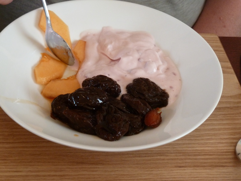
 and then the breakfast that followed
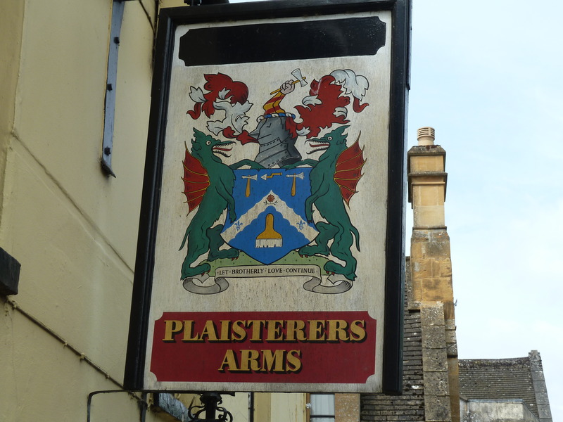
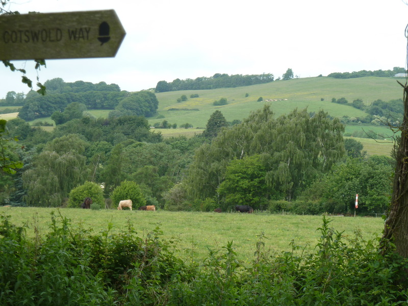
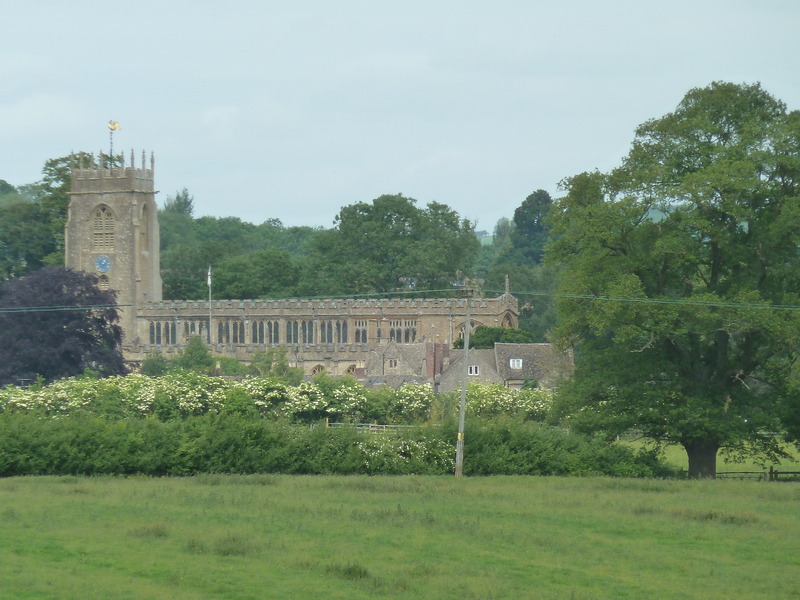
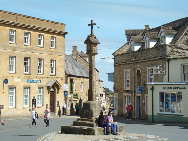
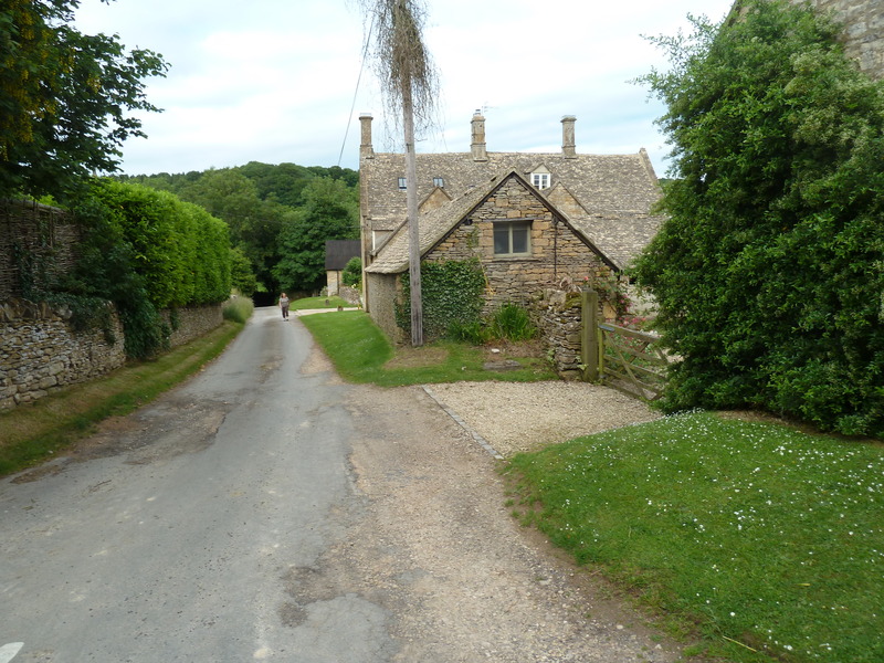
 before heading to the nearby town of Winchcombe where we recorded this sign
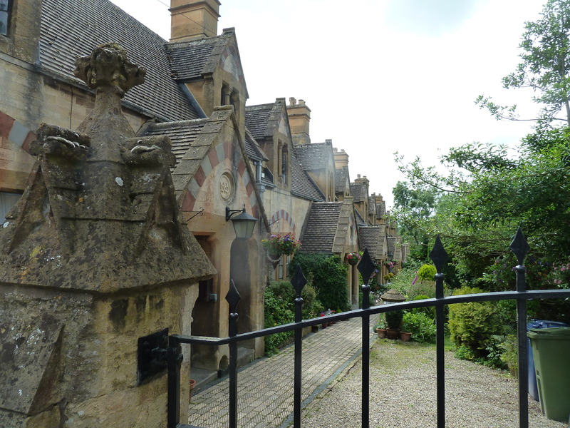
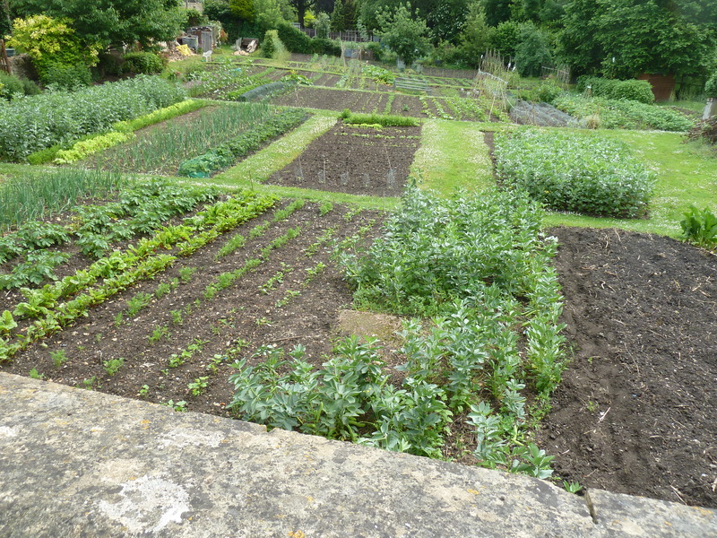
 and a local street scene
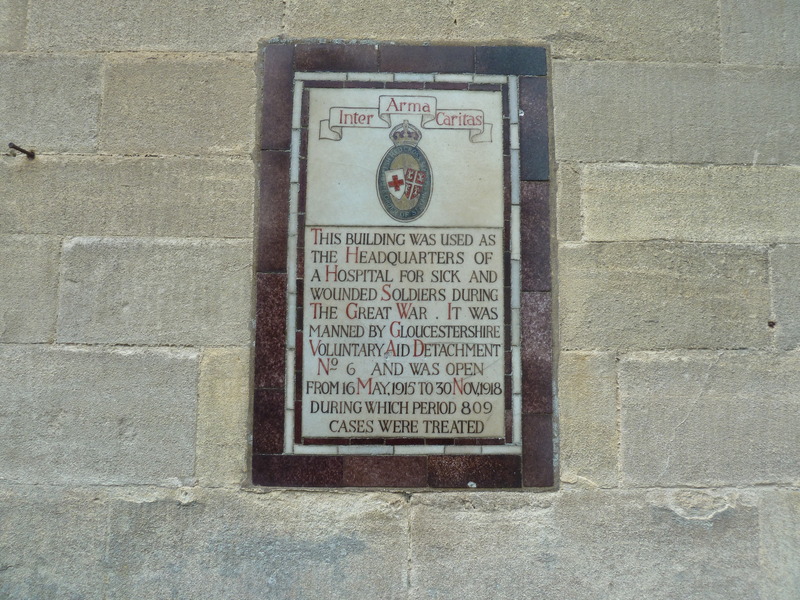
 as well as a sign about the great war
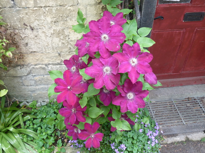
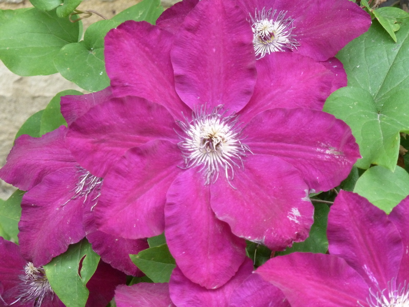
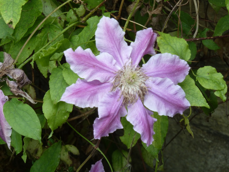
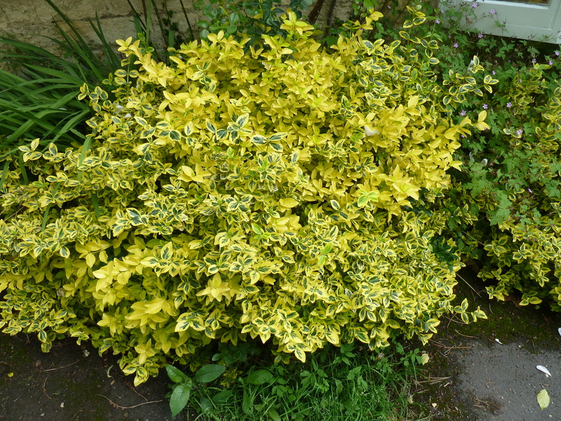
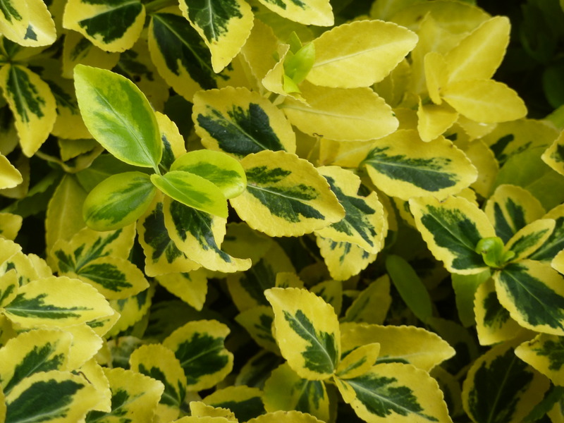
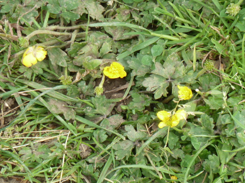
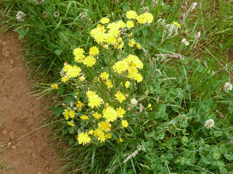
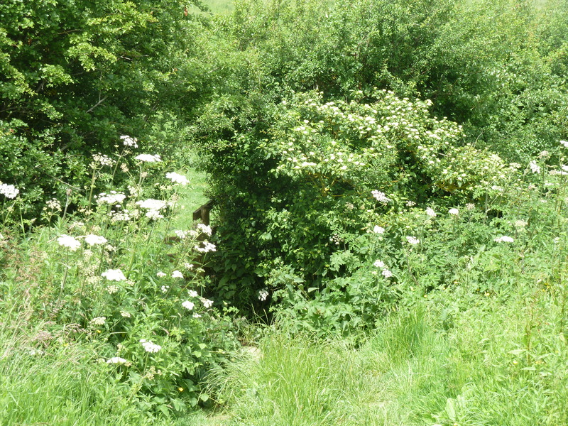
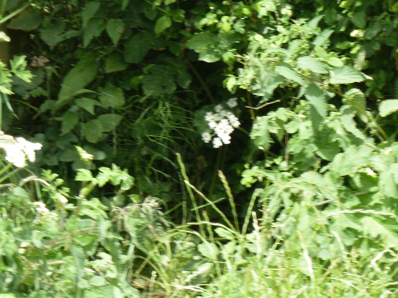
 before observing some flowers
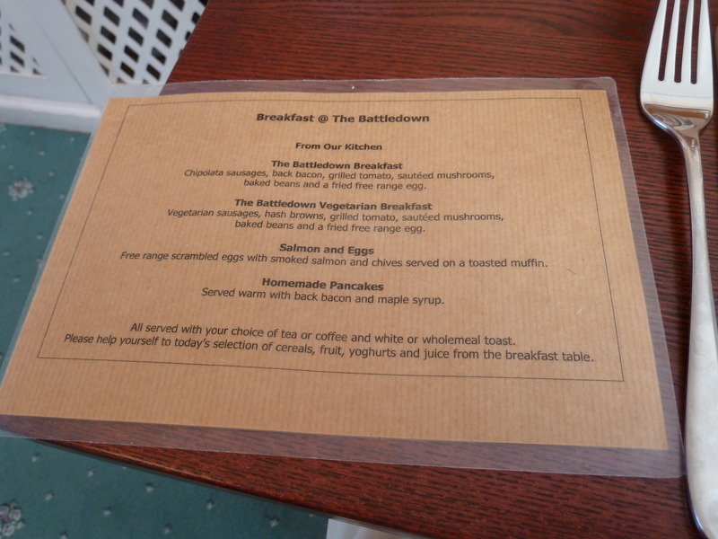
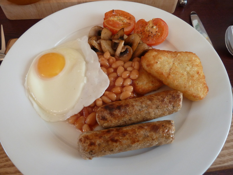
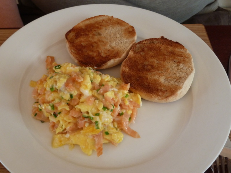
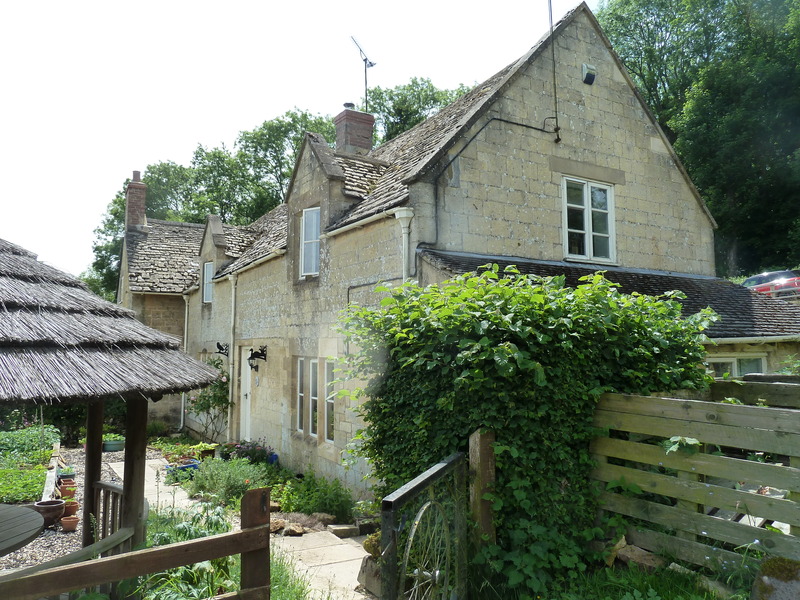
After a good night's sleep, we checked out the breakfast menu
and then the breakfast that followed
before heading to the nearby town of Winchcombe where we recorded this sign
and a local street scene
as well as a sign about the great war
before observing some flowers
|
|
|
|
|
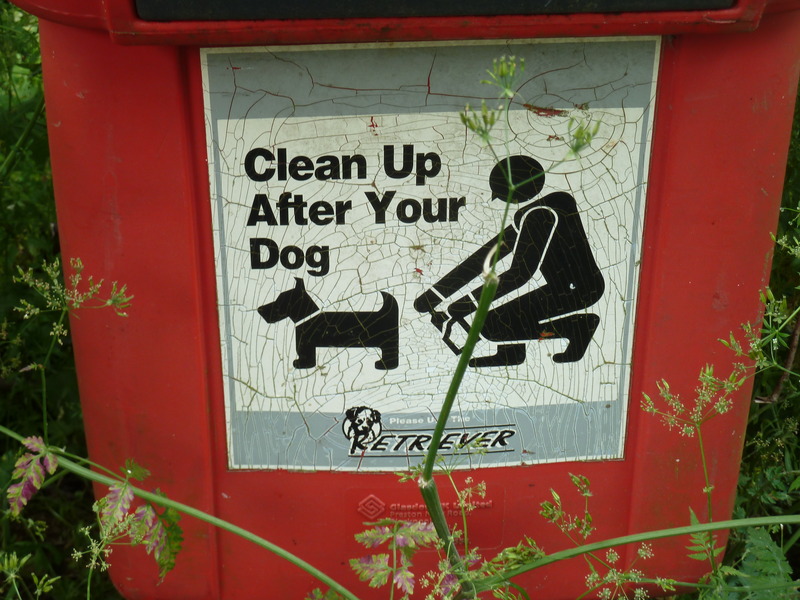
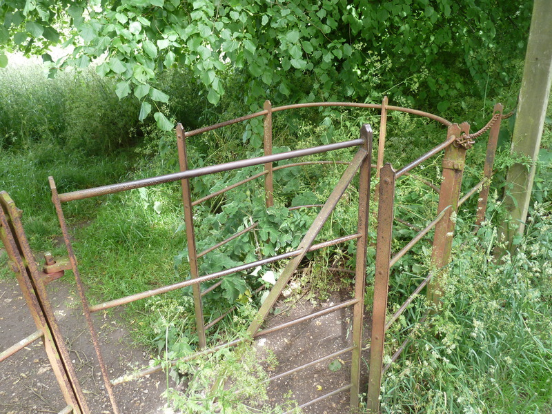
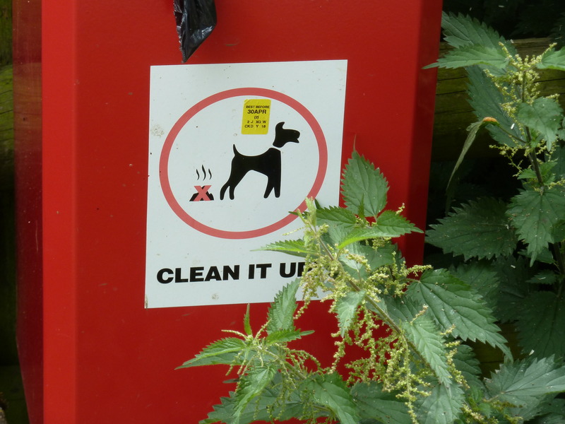
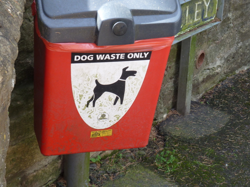
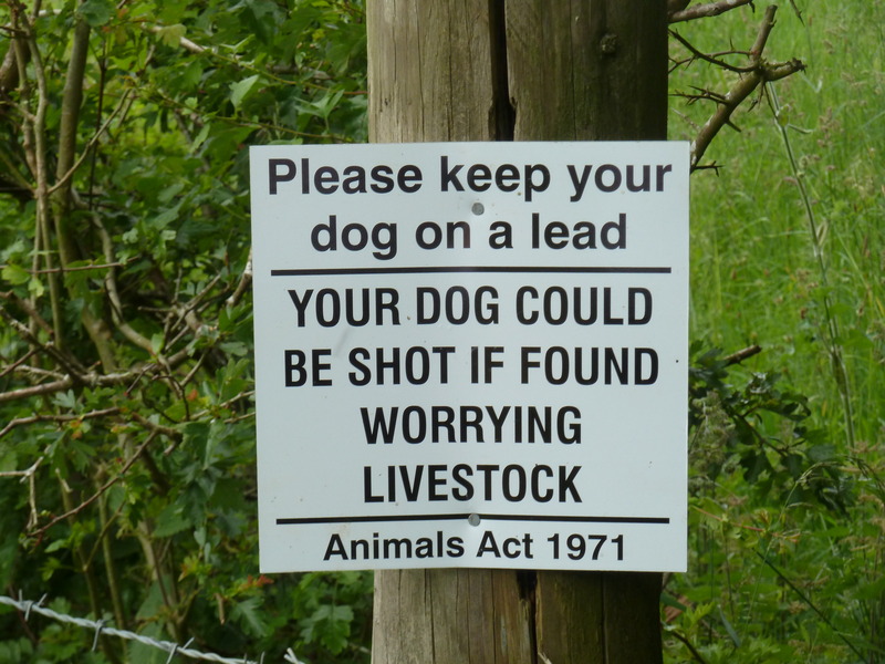
 and the day's first sign for the dog collection
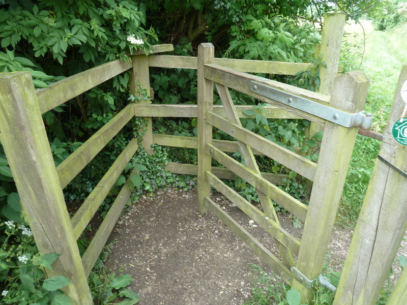
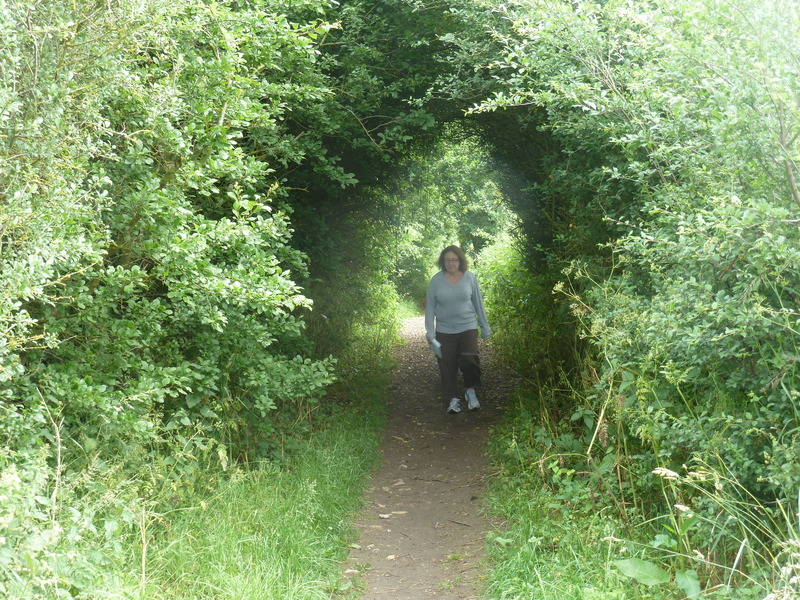
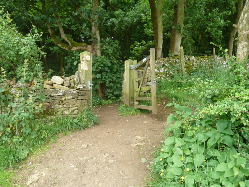
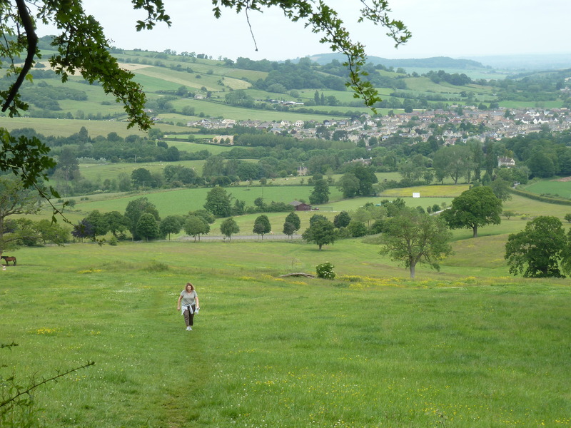
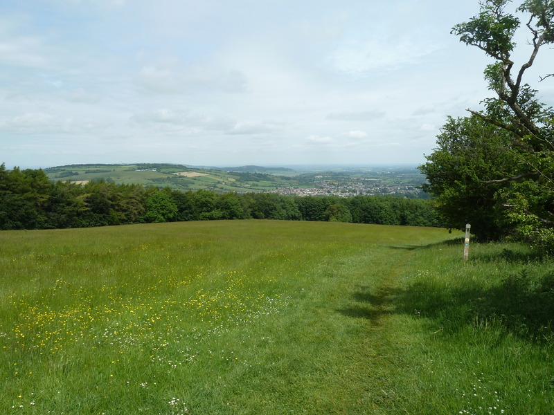
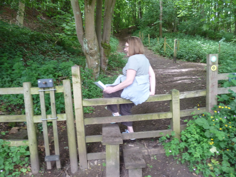
 before we passed through this kissing gate to begin our hike for the day
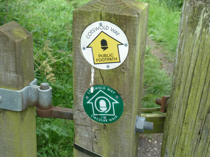
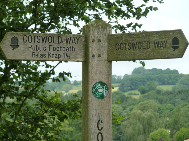
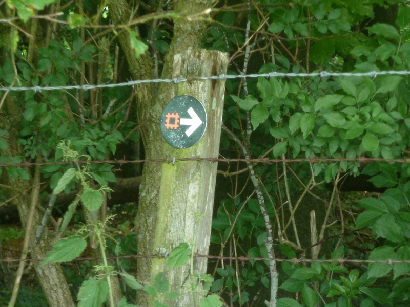
 guided by signs such as these all the way
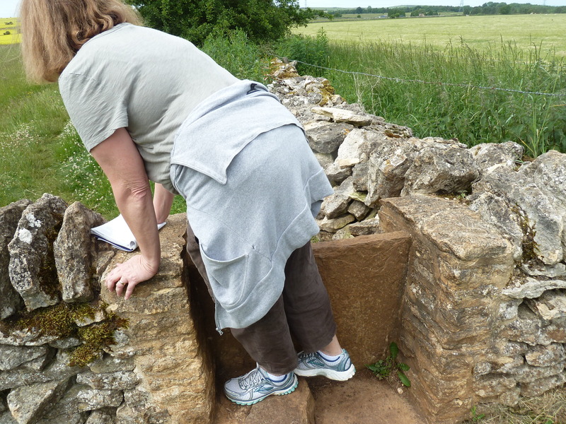
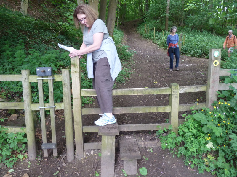
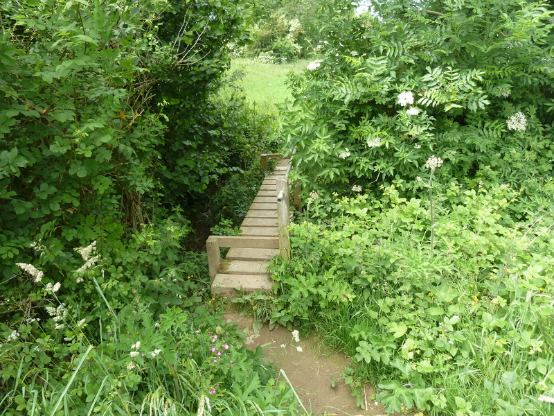
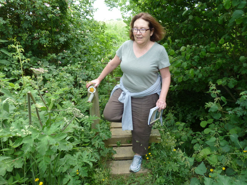
 and then we came to the next stile
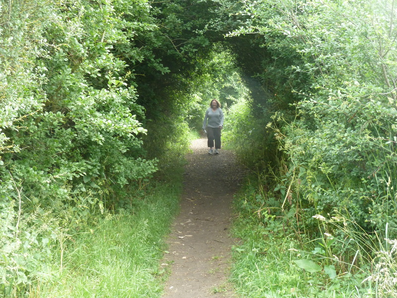
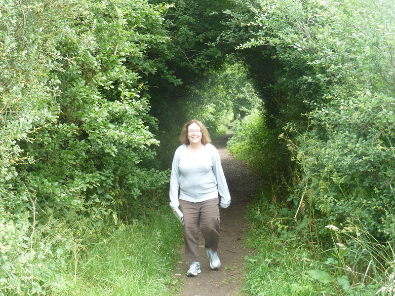
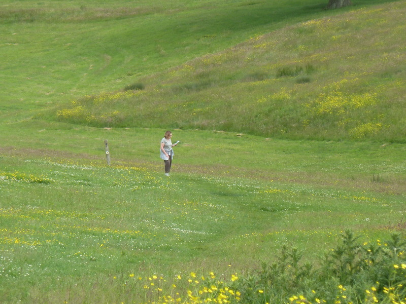
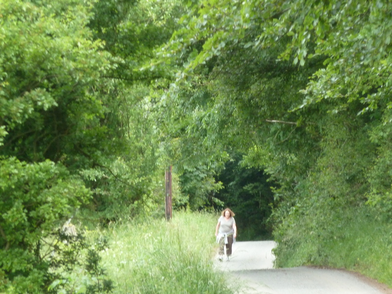
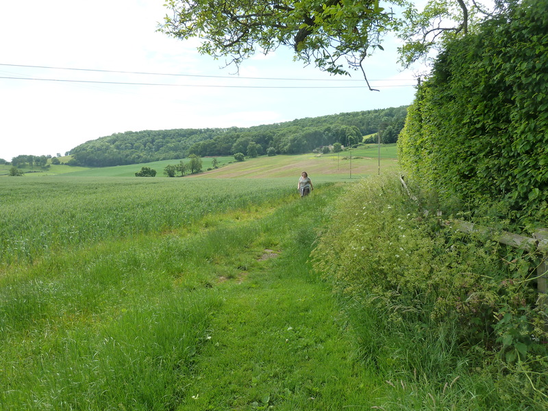
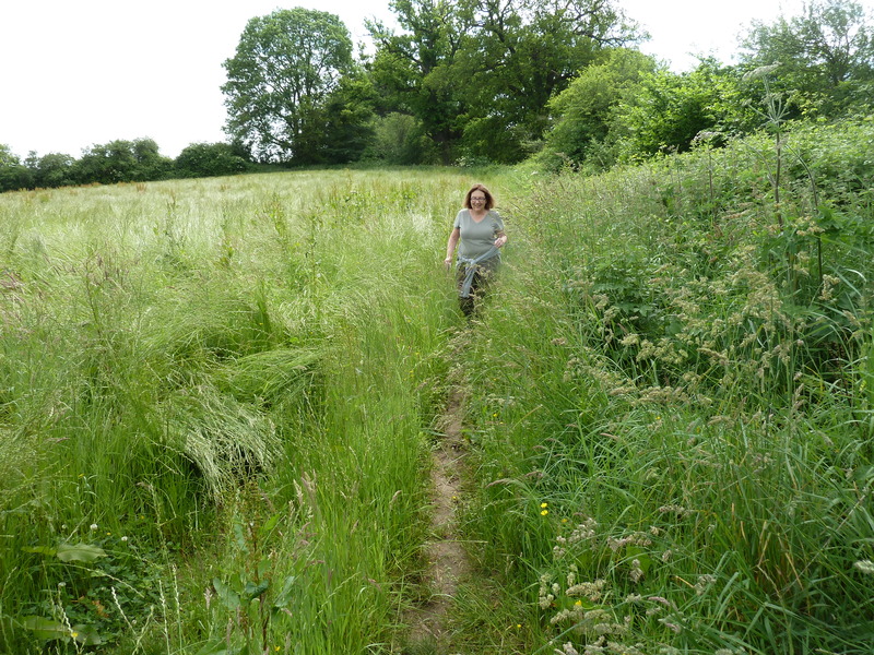
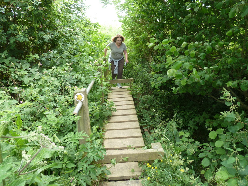
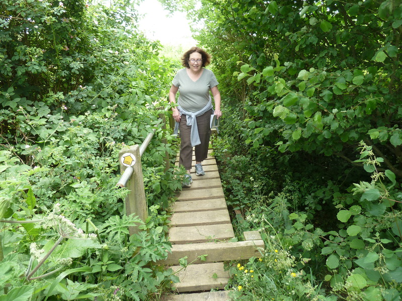
 as Suzanne moved through the foliage
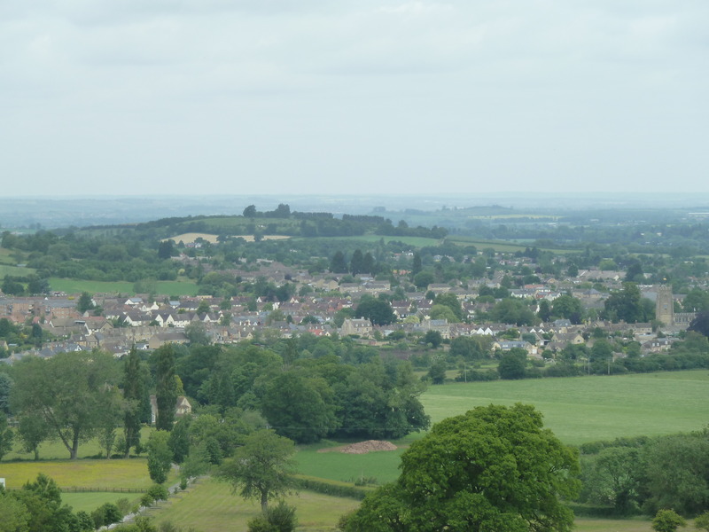
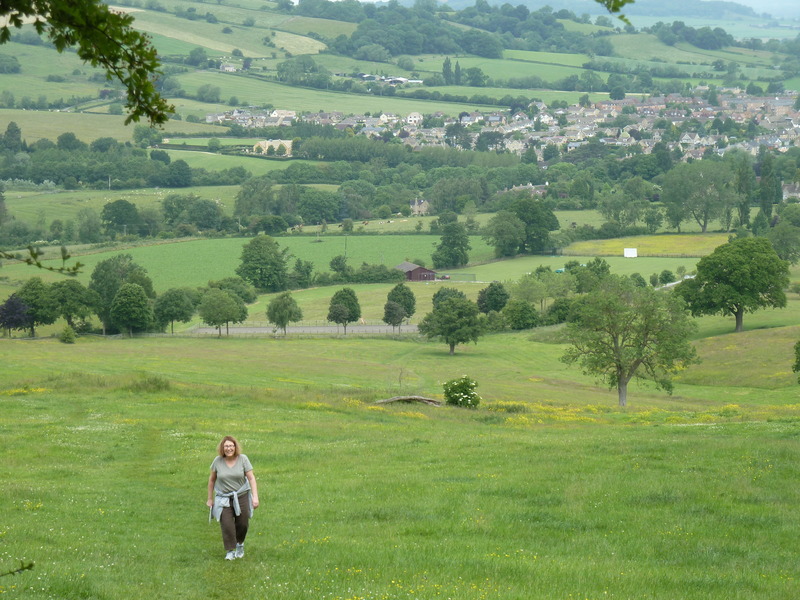
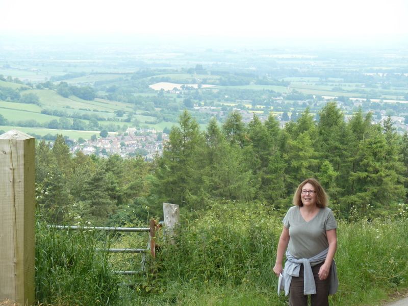
 and we admired remarkable views
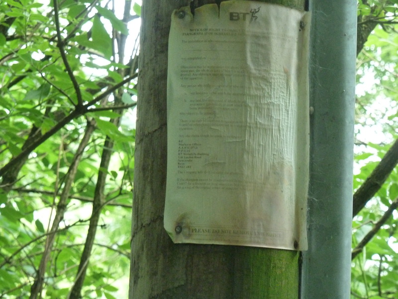
 and guiding signs. Such was not the case for the entire day as we unfortunately discovered.
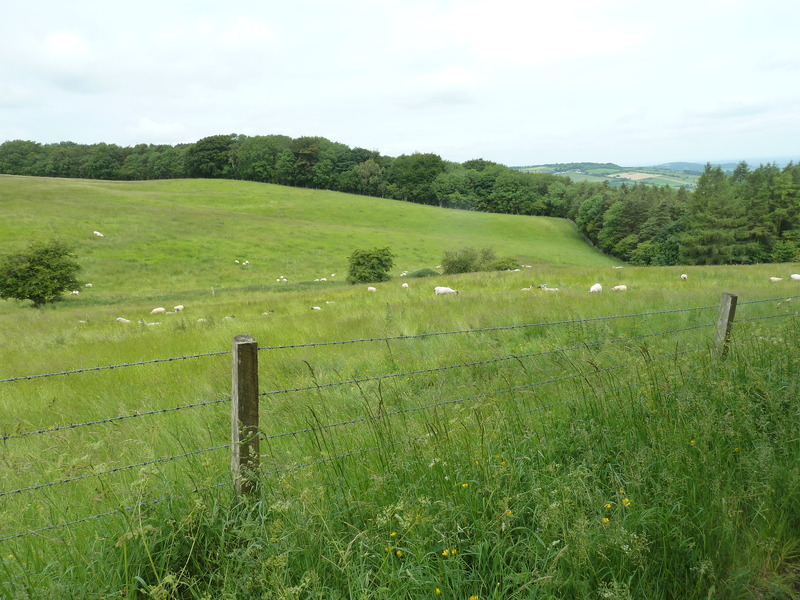
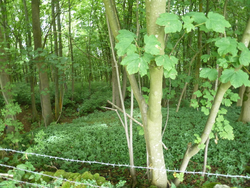
 The scenery was spectacular
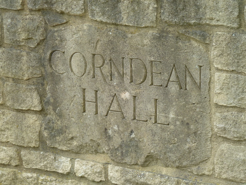
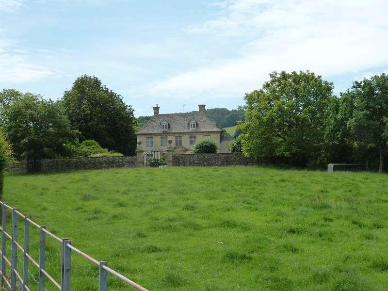
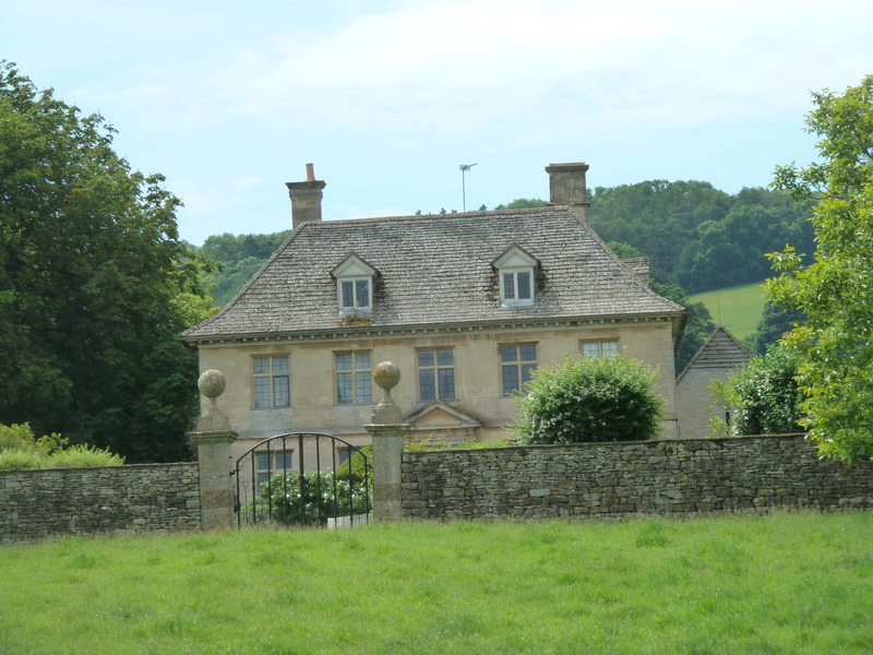
 as we approached Corndean Hall
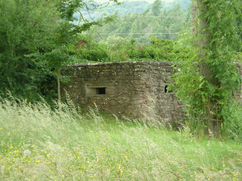
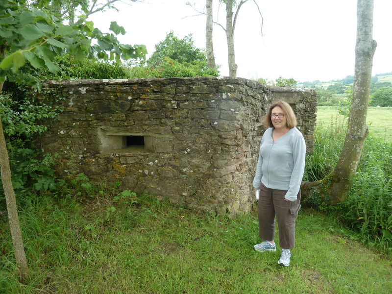
 and saw this pillbox that had been used during the way for armaments
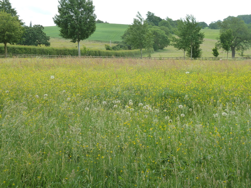
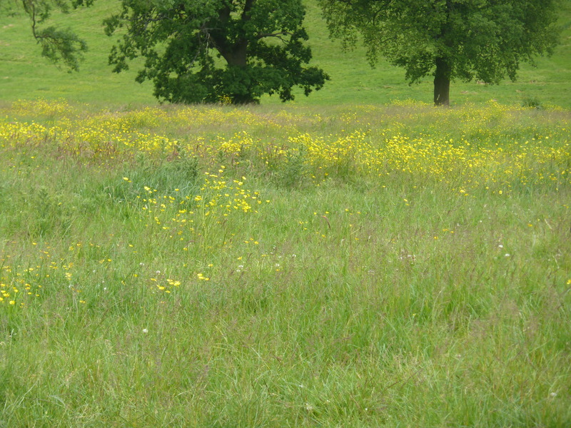
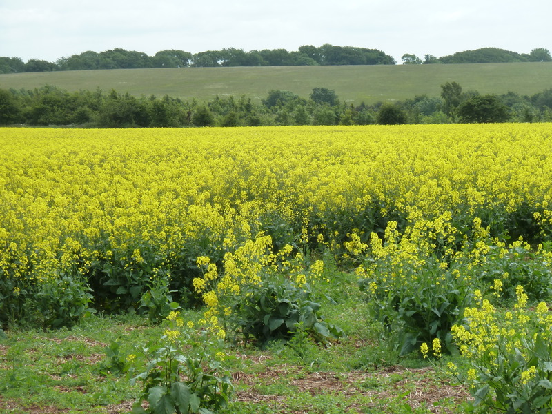
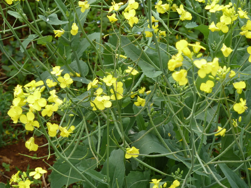
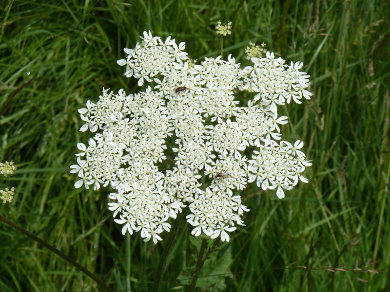
 and looked out across fields, there would be many during the day, of beautiful flowers
 as Suzanne posed by the pillbox
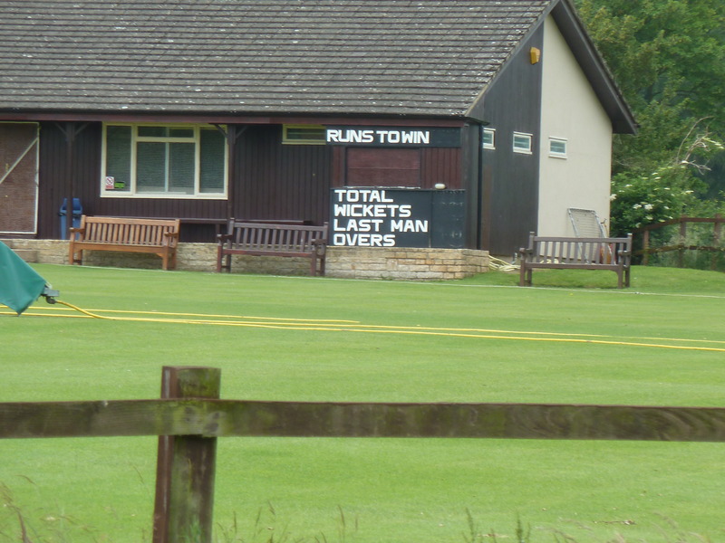
 and we made our way on to the cricket field
 moving our way up the hill
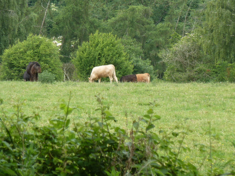
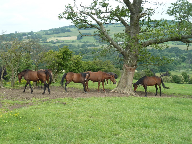
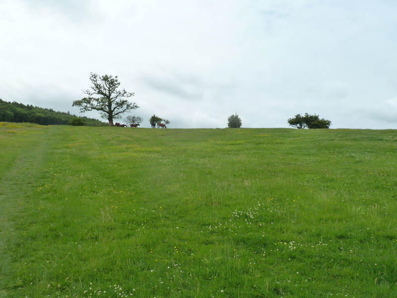 to where the horses seemed to spend their day admiring the view
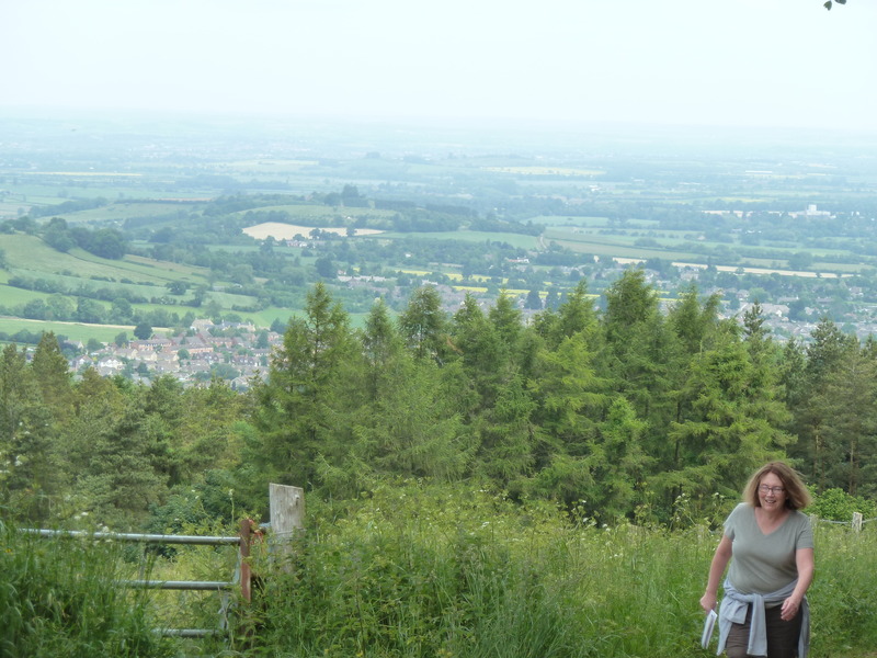
 as I waited for Suzanne to climb the last bit of this hill
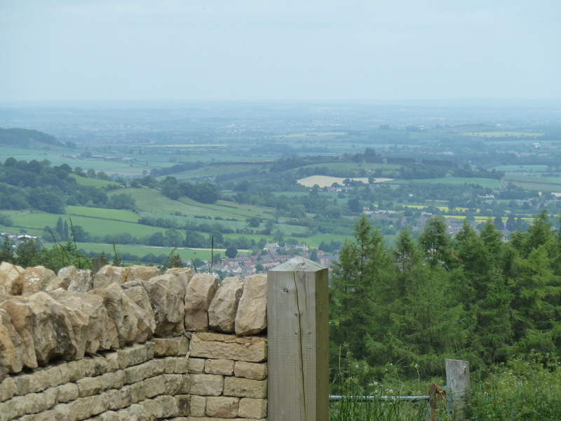
 and so admired what I saw
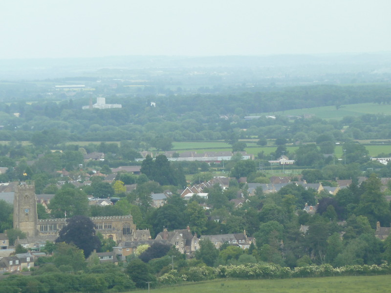
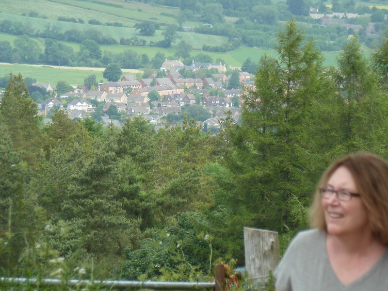
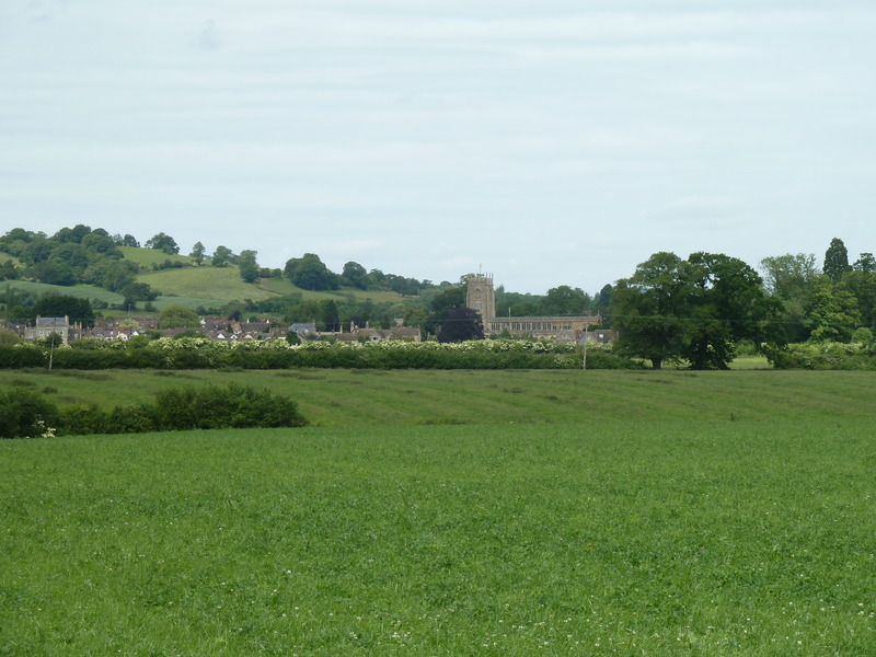
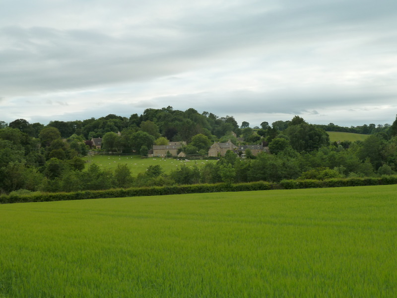
 including the village below
 before we came to the next gate
 as Suzanne continued her climb
 and we reached this sign which didn't say anything of value.
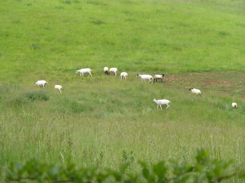
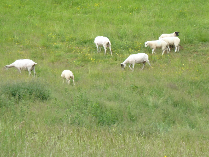
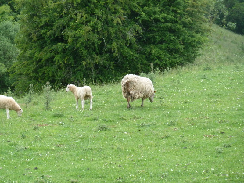
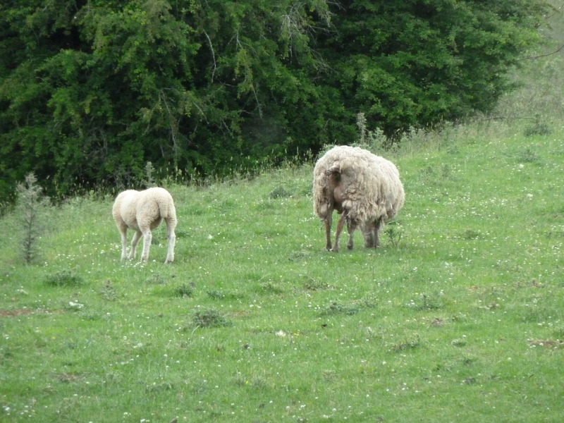
 Marching on, we ran into many sheep
 as we made our way down the road
 towards a sign that said Hill Barn though it was a challenge to read the sign
 but this was the barn area
 and the view below to the village we had left
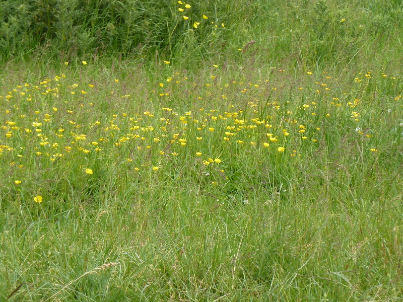
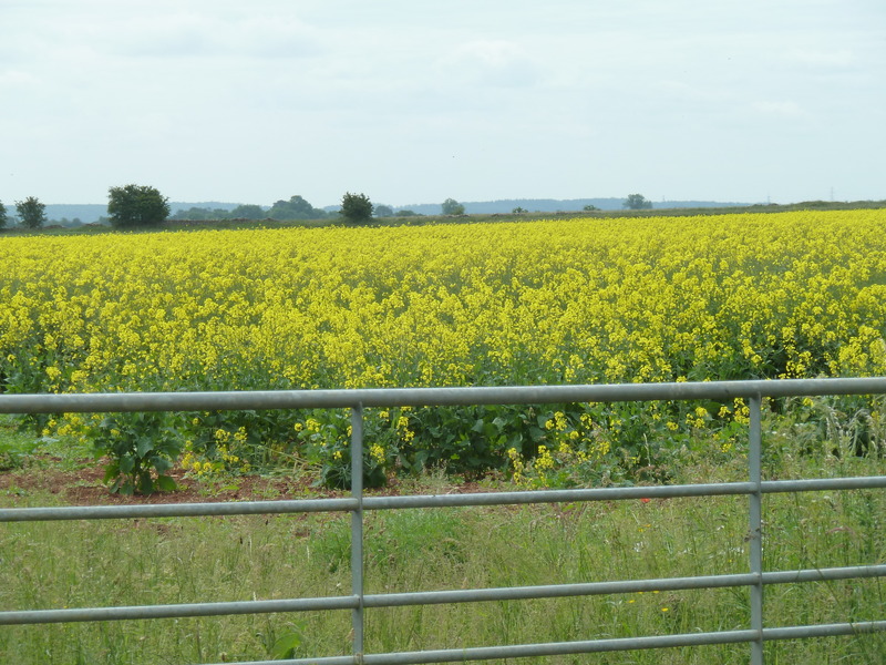
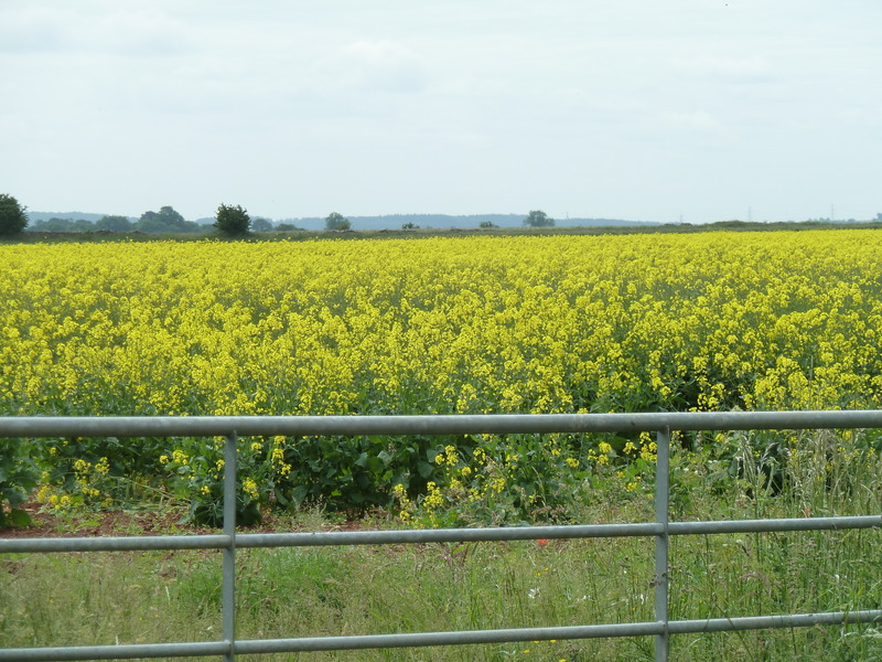
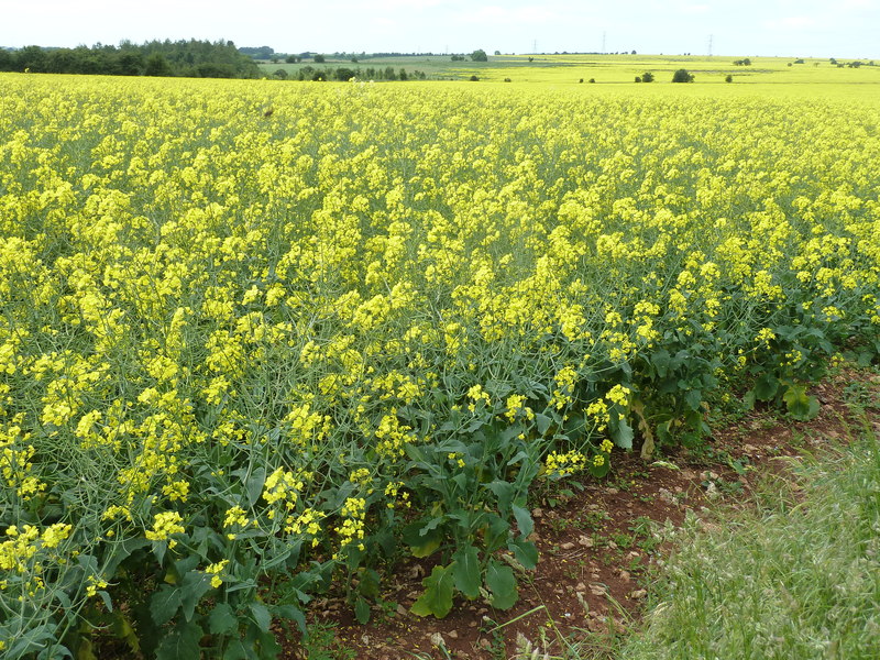
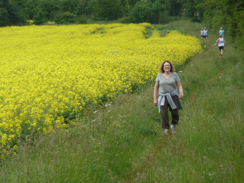
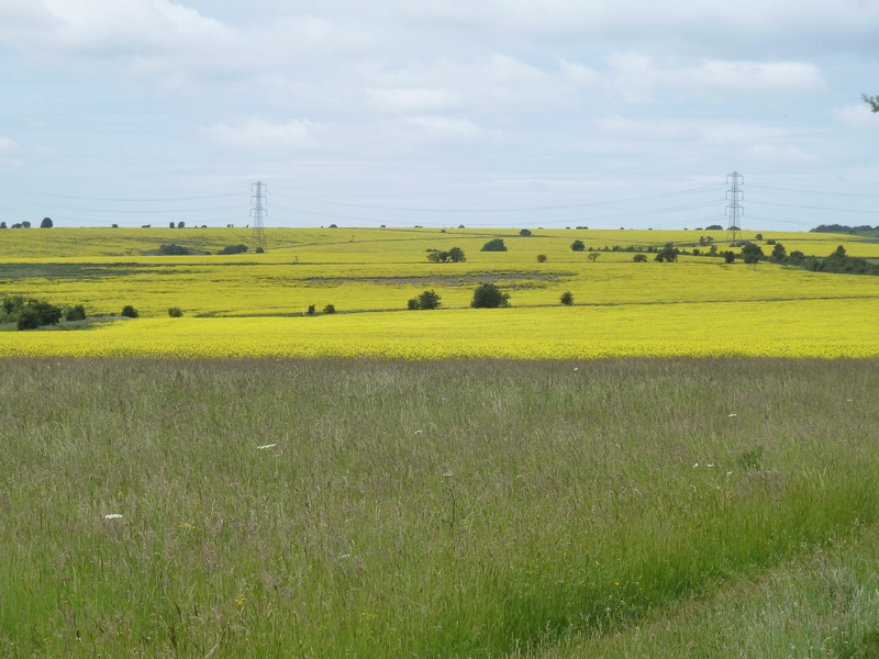
 as we walked through yellow fields of amazing flowers
|
|
|
|
|
|
|
|
||||
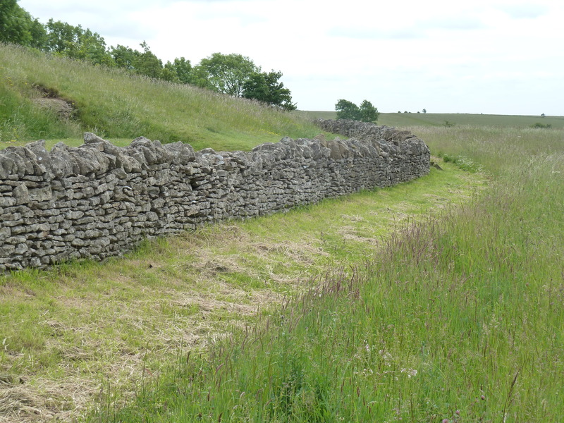
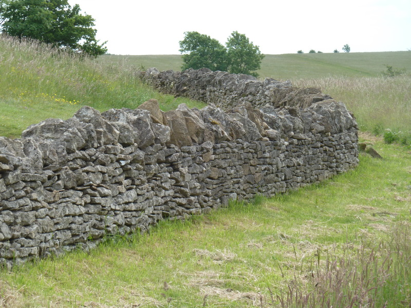
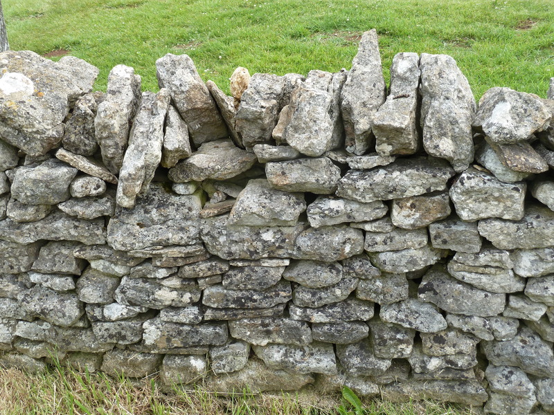
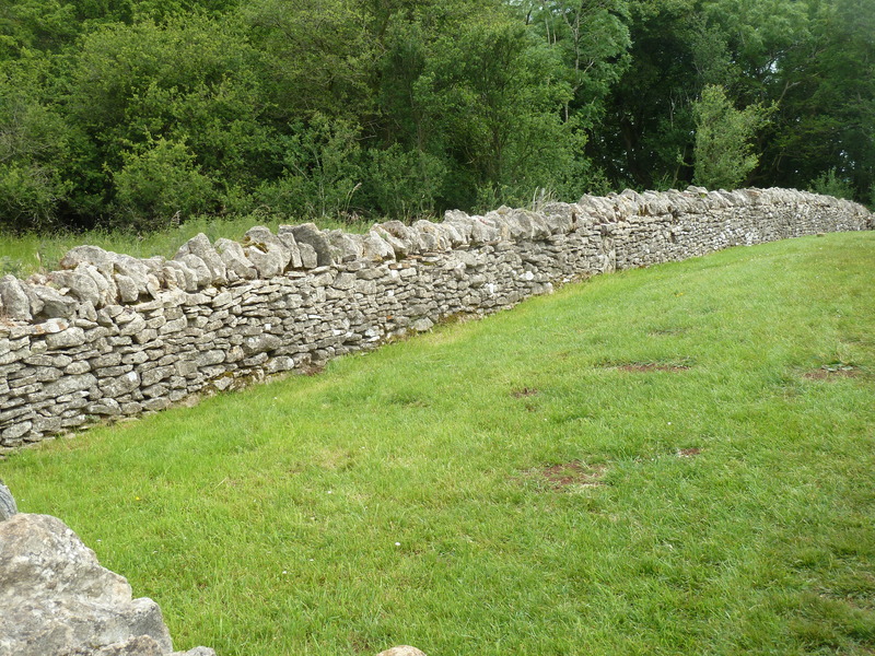
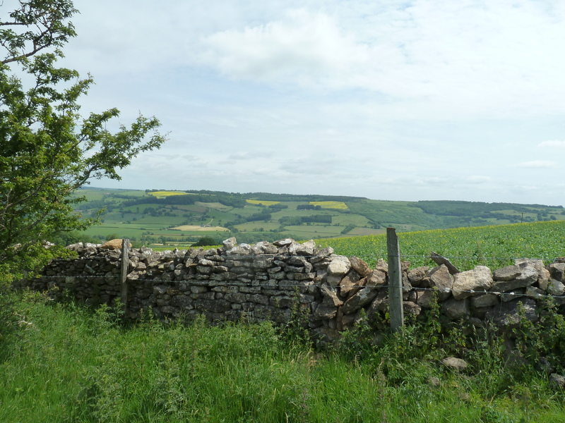
 as we continued through the fields until we saw this remarkable stone wall (of which there were many)
|
|
|
|
|
|
|
 which Suzanne took
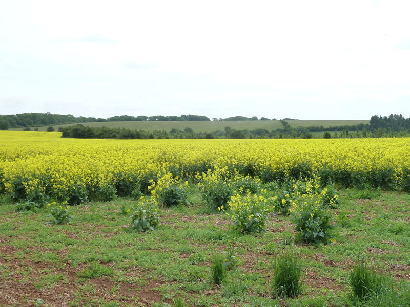
 as we saw more remarkable fields in the distance
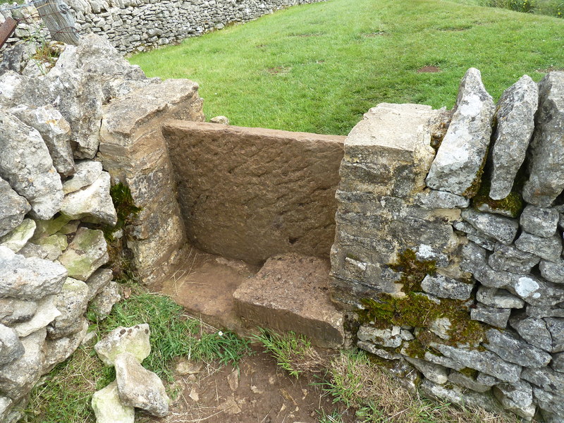
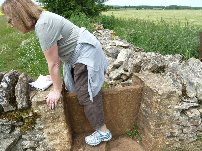
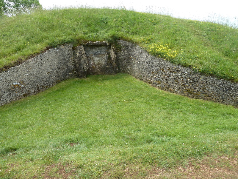
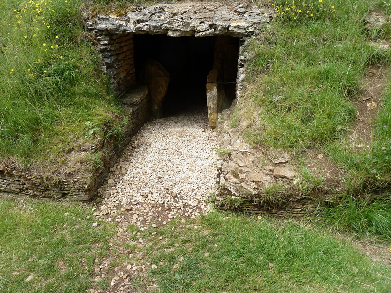
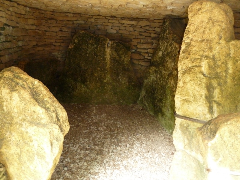
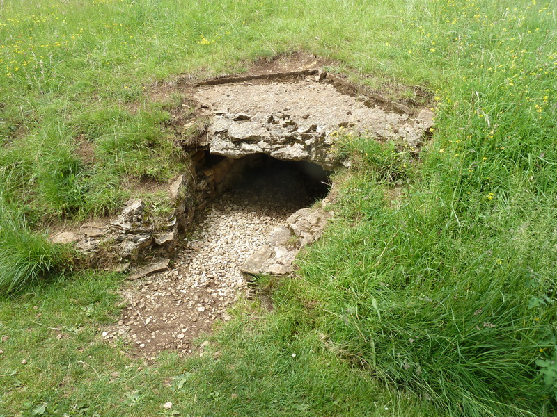
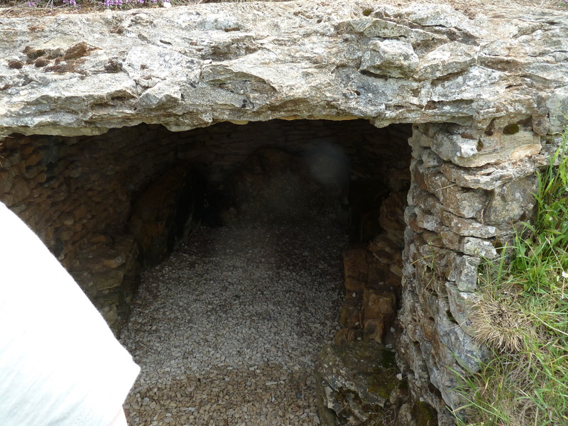
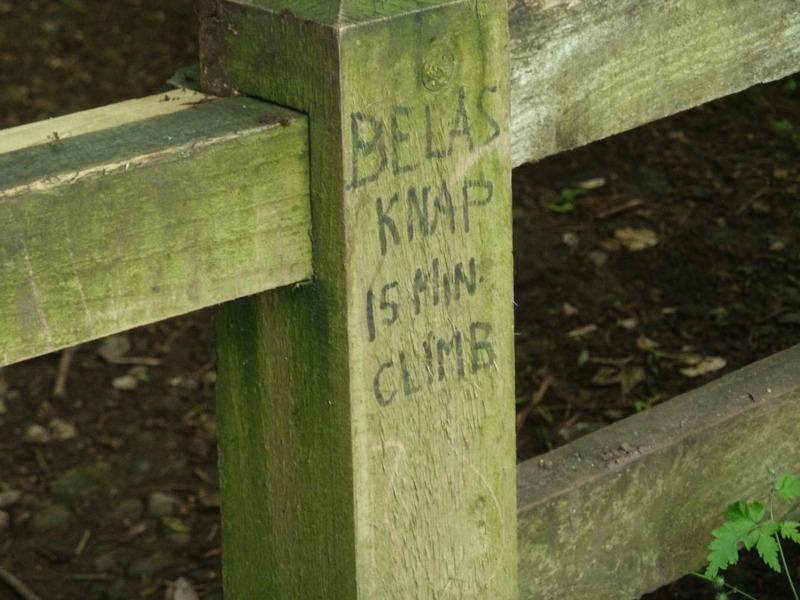
 though we had arrived at Belas Knap Long Barrow
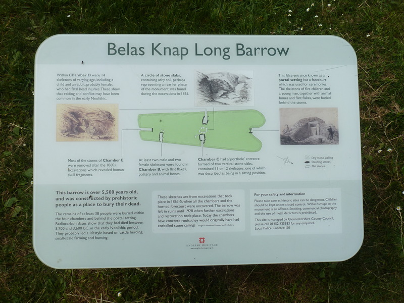
 which is a prehistoric burial ground as described in this poster
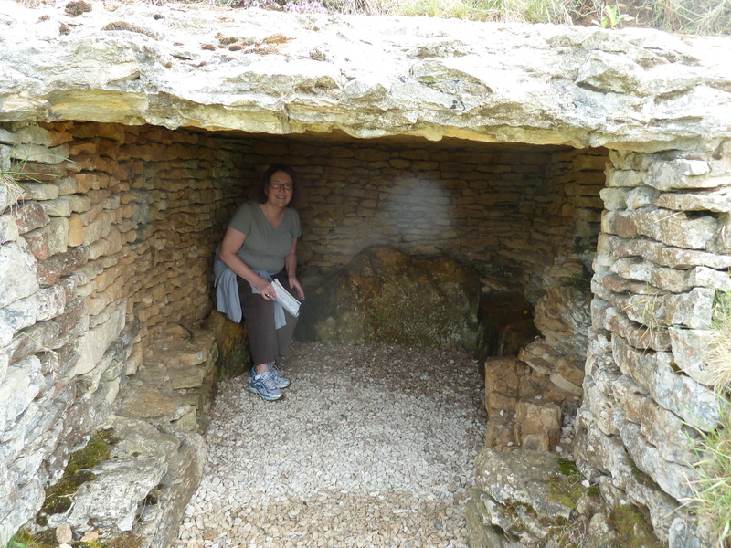
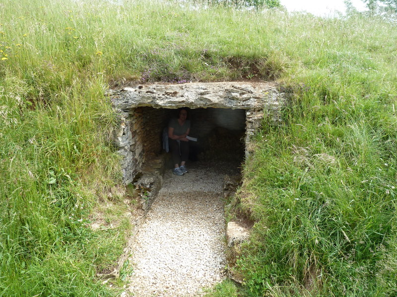
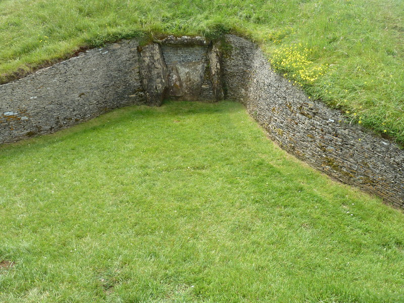
 and so proceeded to explore the various openings

|
|
|
|
|
 before we took a final photo
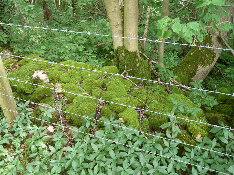
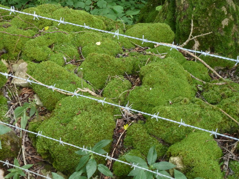
 and headed off to a place where there was moss by the side of the path
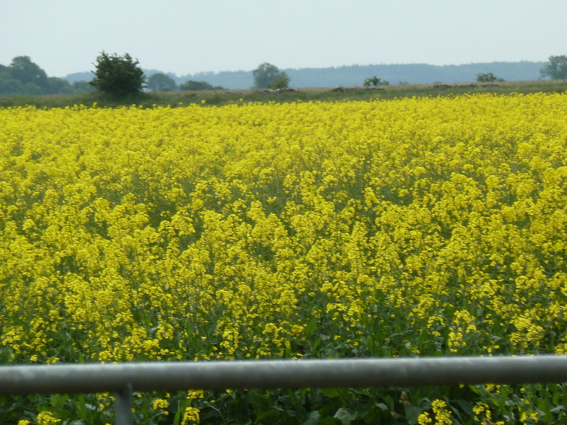
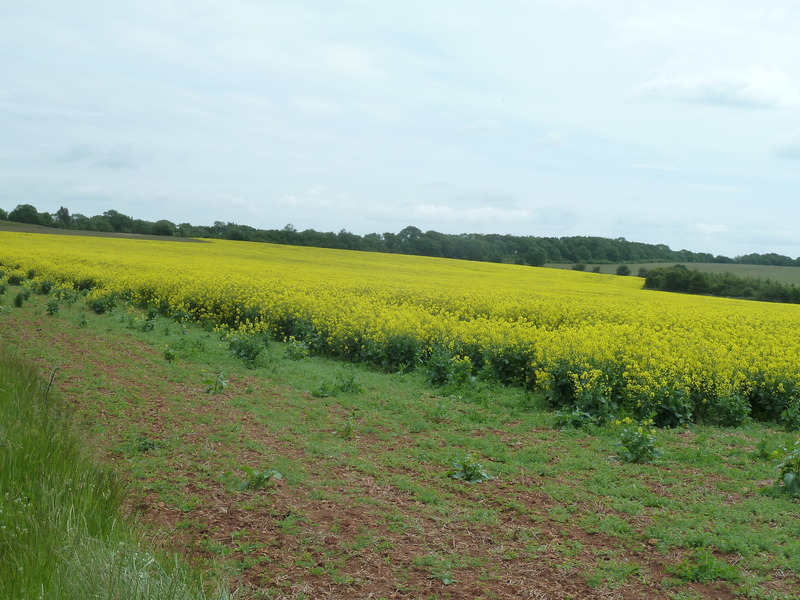
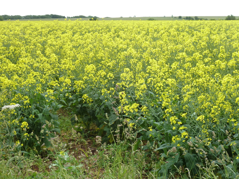
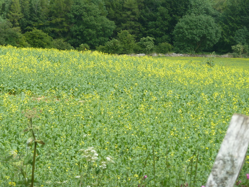
 and the yellow fields continued to pop up
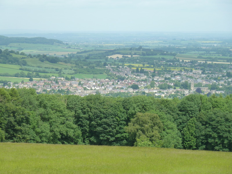
 along with this view down towards the city
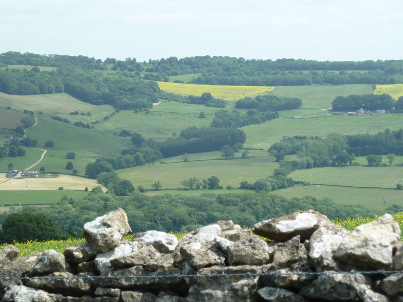
 and an alternate view of the fields around us which gave a remarkable panorama
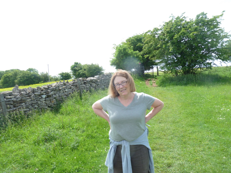
 which amused Suzanne
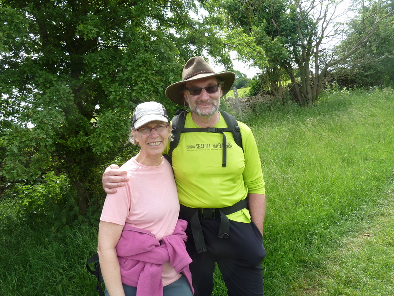
 and walking down a final hill, we ran into this couple from Seattle who were marching from B&B to B&B and having their baggage carried for them
 and then saw this sign which signifies a ruin (in this case Belas Knap)
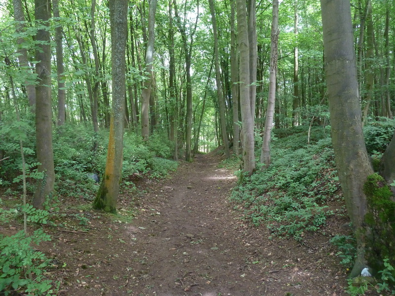
 and headed through the woods
 seeing this other sign signifying a ruin
 before Suzanne climbed another stile
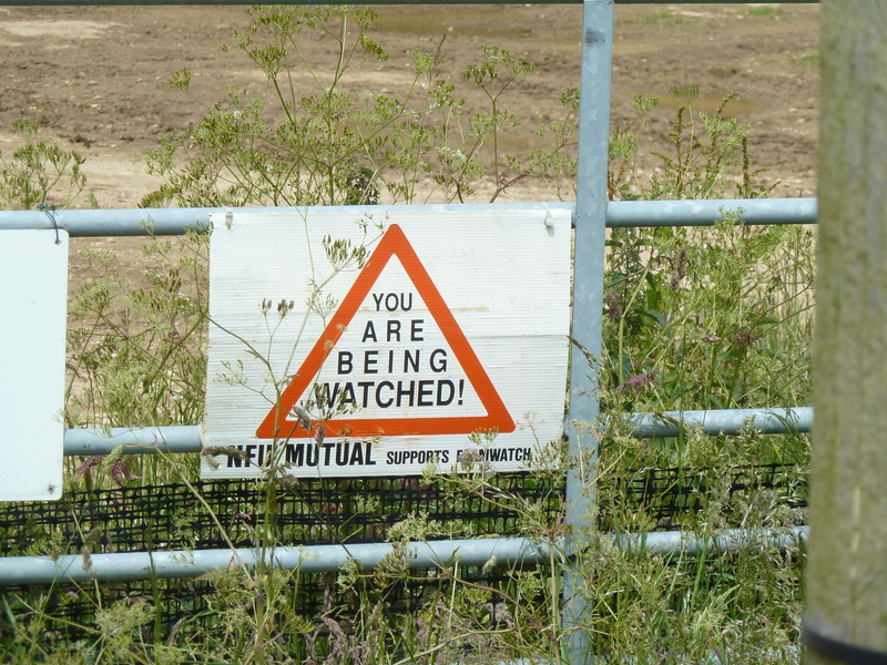
 and we were suitably warned about the company we might be keeping
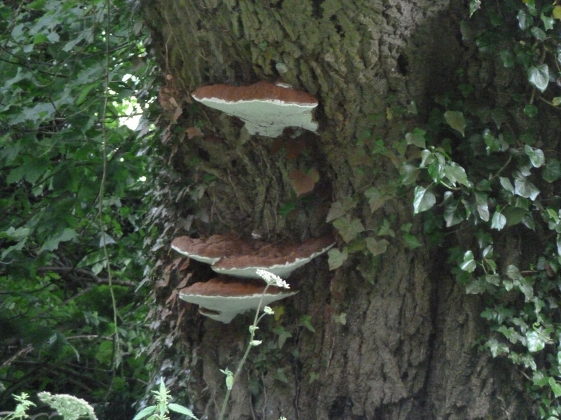
 but all we saw were these mushrooms growing on a tree
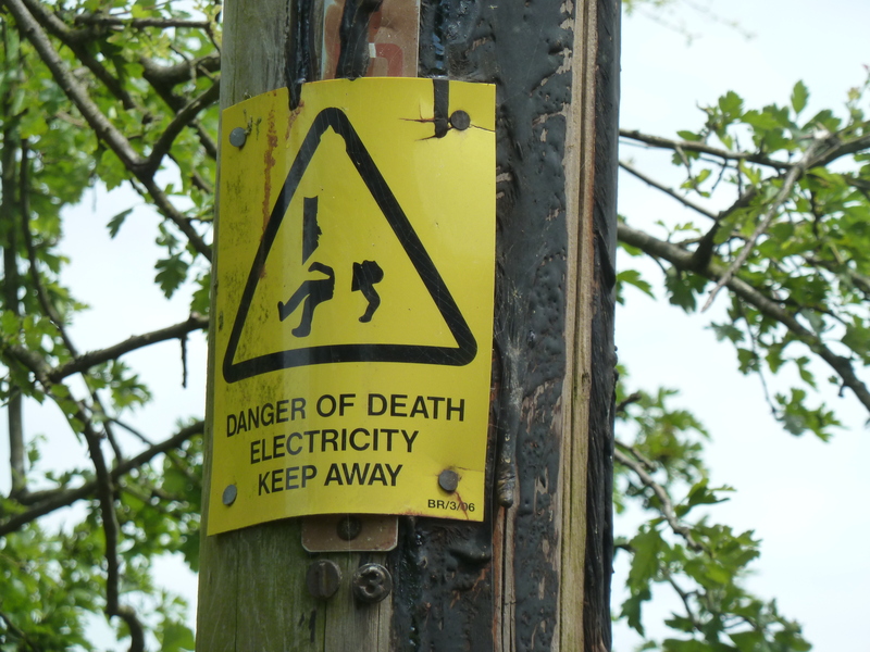
 and this warning sign about the electricity
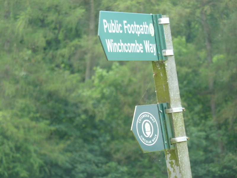
 before we came to a sign signifying our path
 and this shade ramada at a
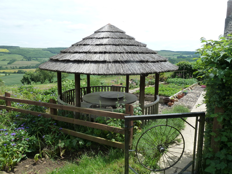 house we passed
 which had this warning sign
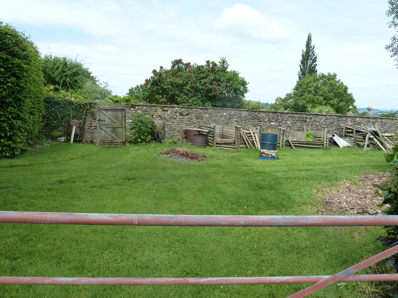
 and this yard
 but we marched on
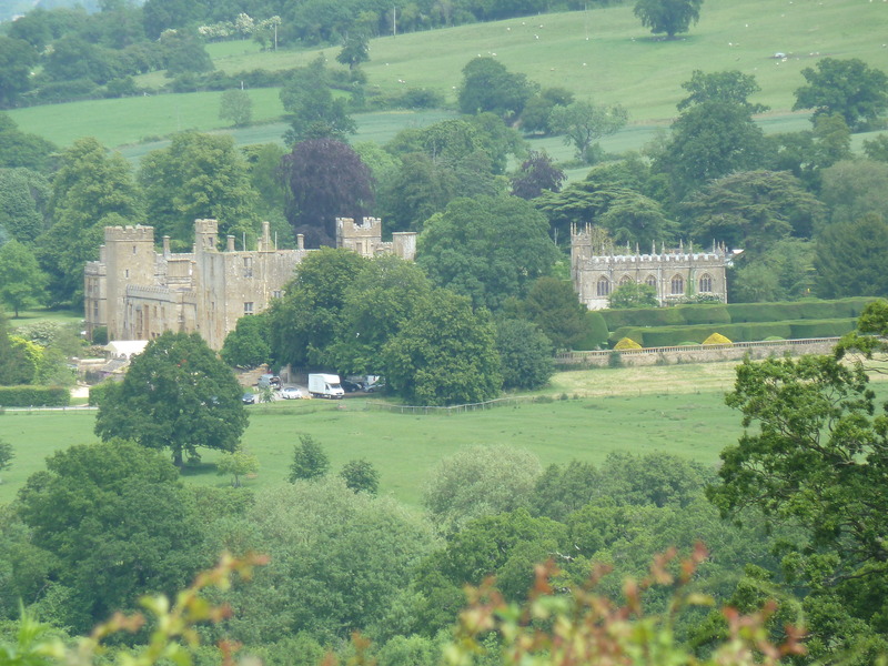
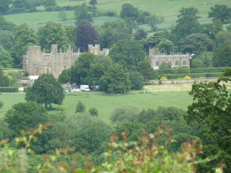
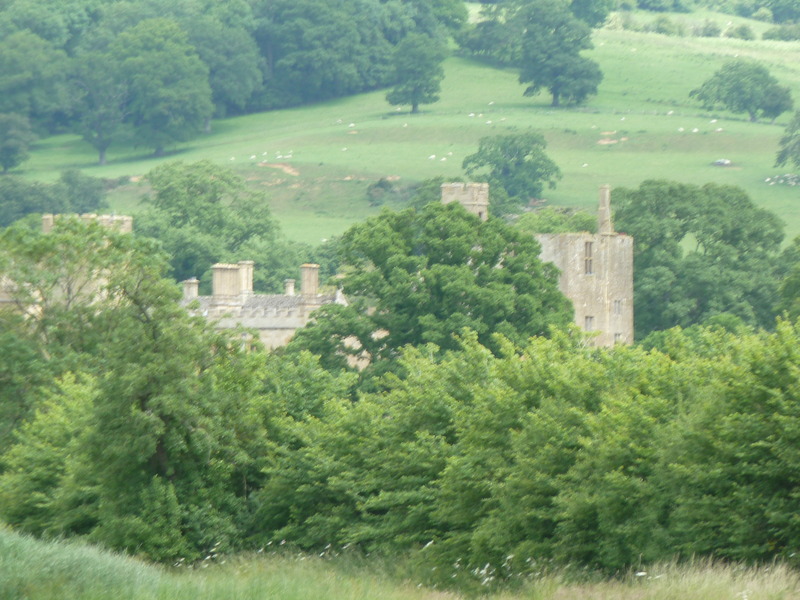
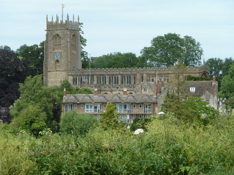
 and saw Sudeley Castle
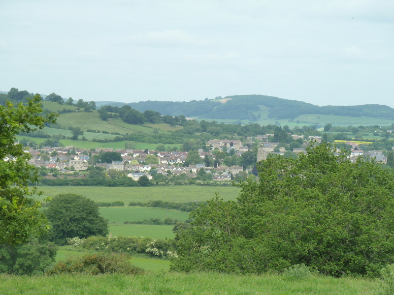
 and the town in the distance
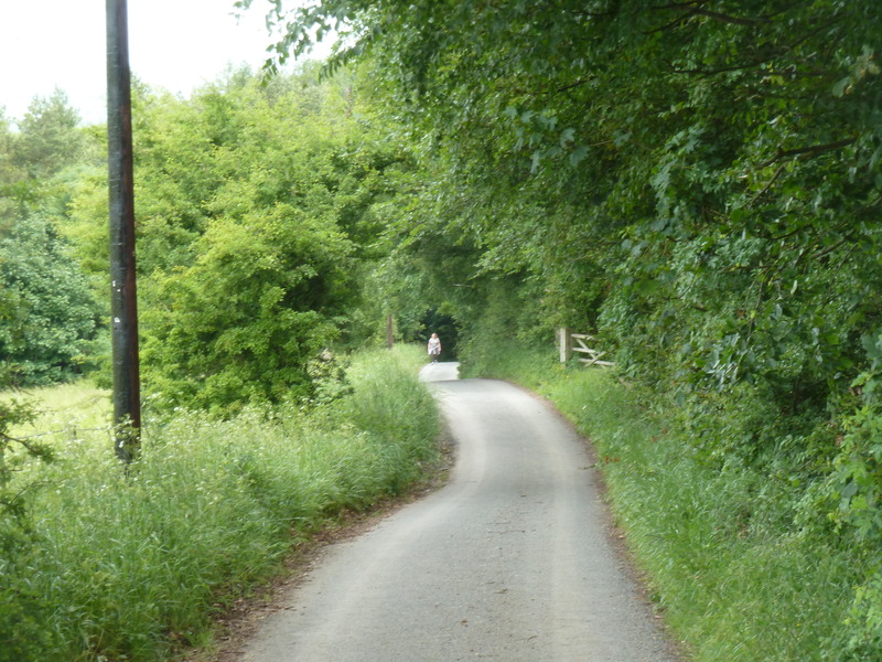
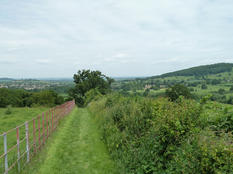
 and so continued the path
 to and past this house
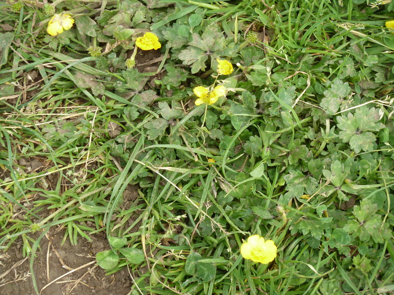
 stopping to admire the flowers
 as Suzanne made her way
 to and across the little foot bridge
 which brought the town church a bit closer
 in the sky scape of the town
 and so we kept walking past flowers
 realizing we were almost there yet
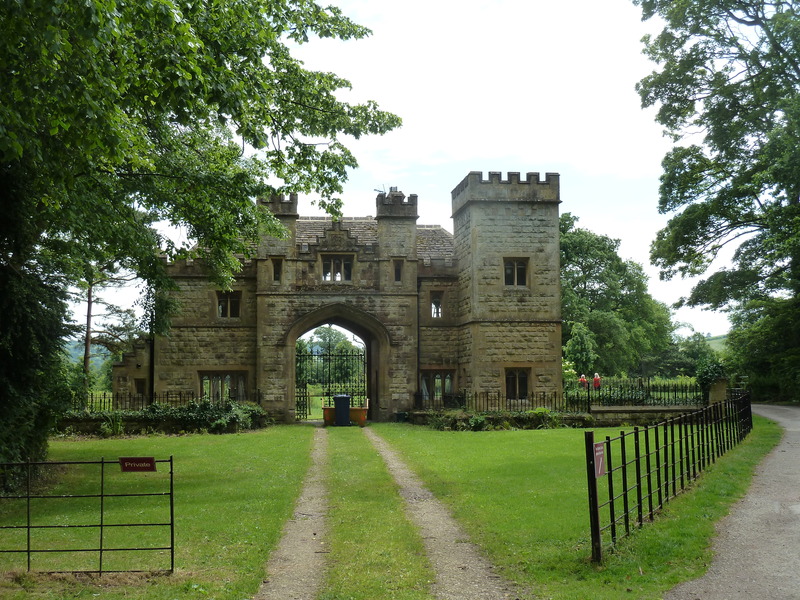
 but we got diverted by the possibility of a visit to the castle and so we went through the outer gates
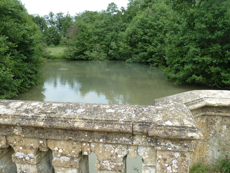
 to this water which may have been the original moat
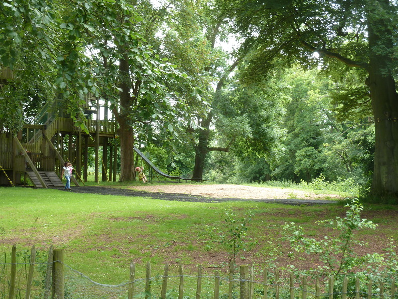
 and past a remarkable playground at the castle
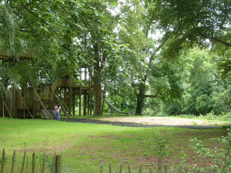 complete with zip line
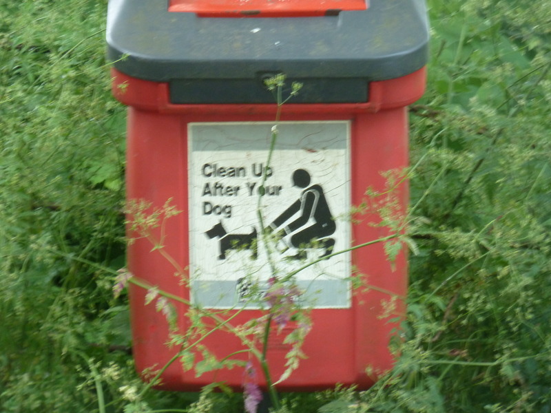
 stopping to get the sign for the collection of dog photos
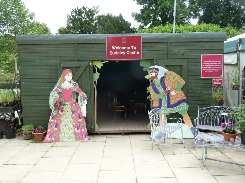
 before we reached the castle and decided to skip a visit there
 but we did record these signs for the collection of dog signs
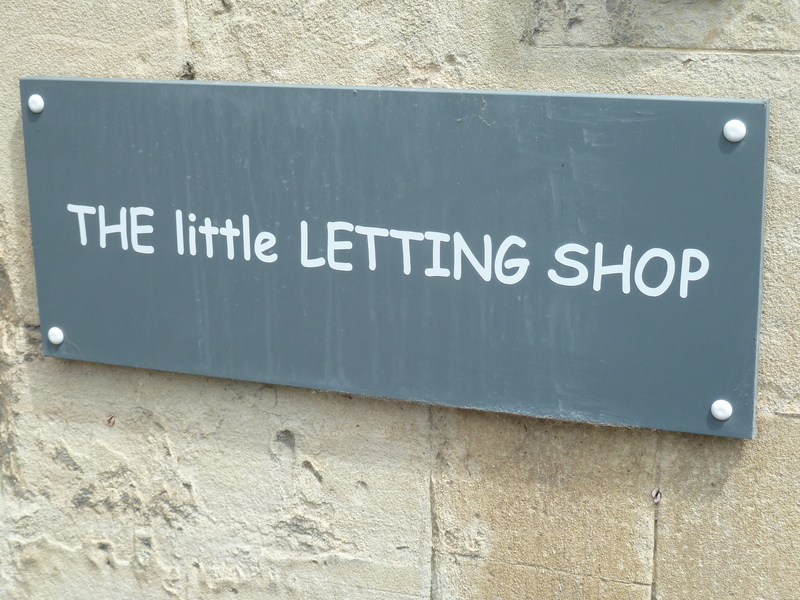
 before passing the little Letting Shop which rented housing
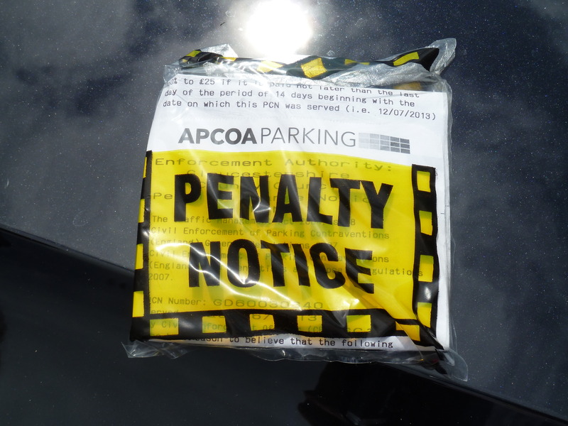
 and found this unwelcome sign on our windshield because we hadn't realized that there was a parking time limit.
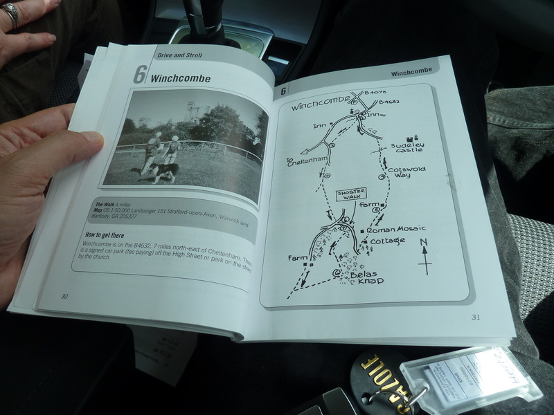
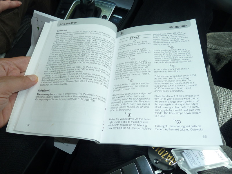
 Before departing, I recorded the pages that describe the walk we just complete, so as not to miss any details.
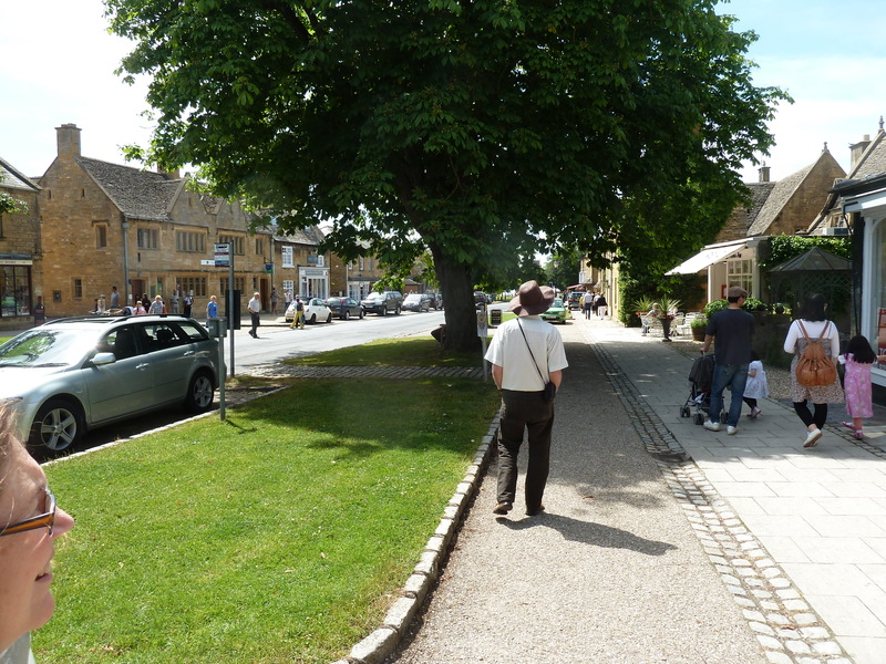
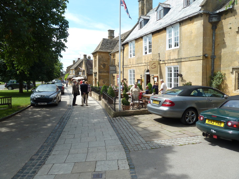
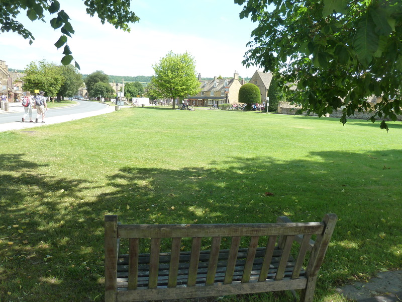
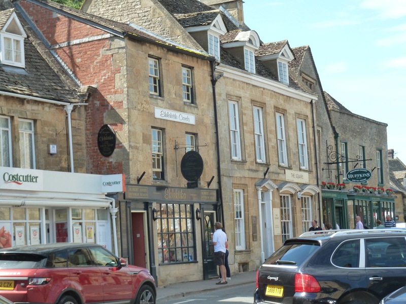
 Then we were off to Broadway where the car was parked (but we were aware of time limits) and so we captured a street scene
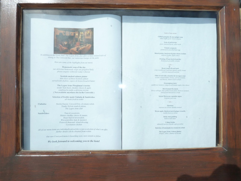
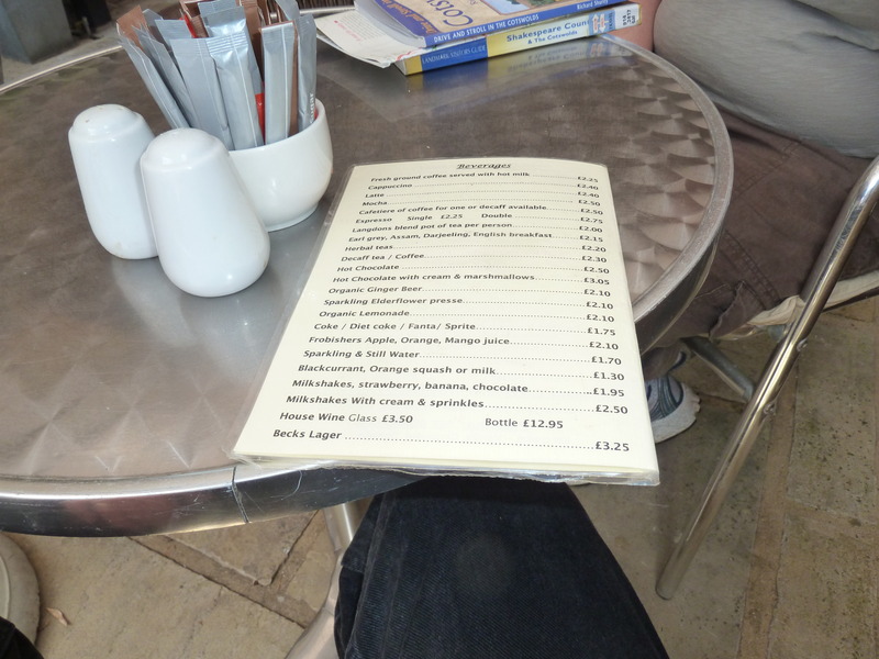
 and then a menu that seemed like it might be a mistake
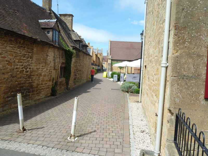
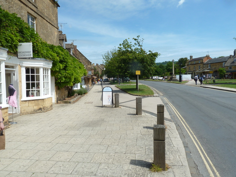
 and more street scenes
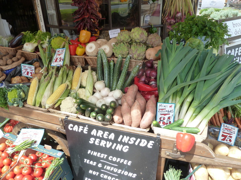
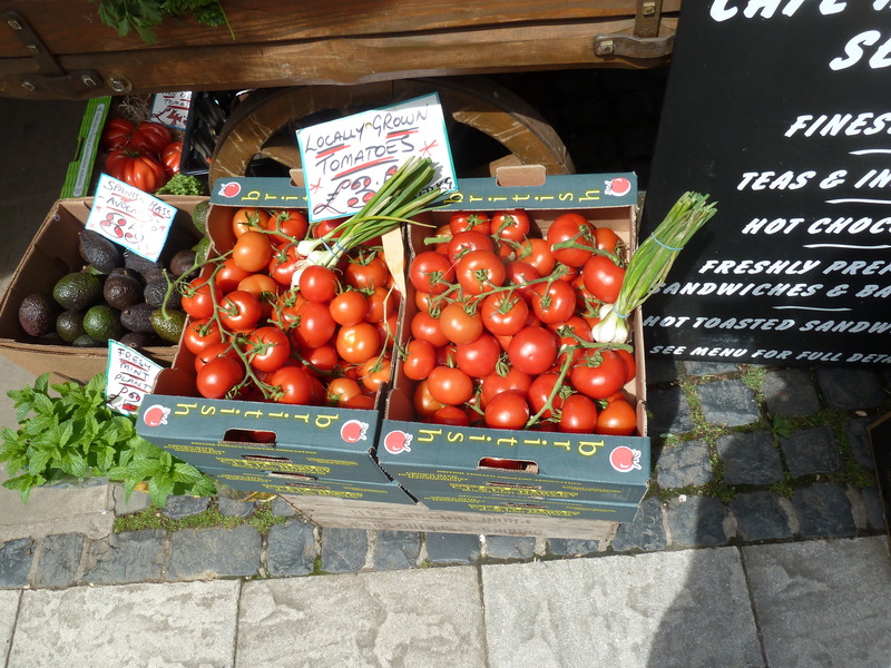
 including the vegetables and fruit
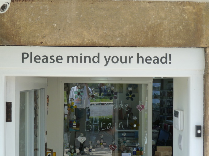
 while being warned about the importance of minding one's head
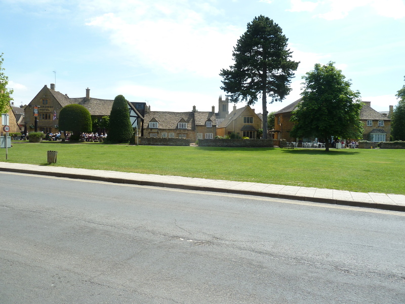
 and then we explored the town green and shops
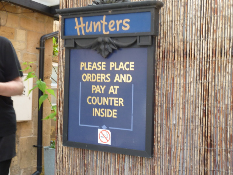
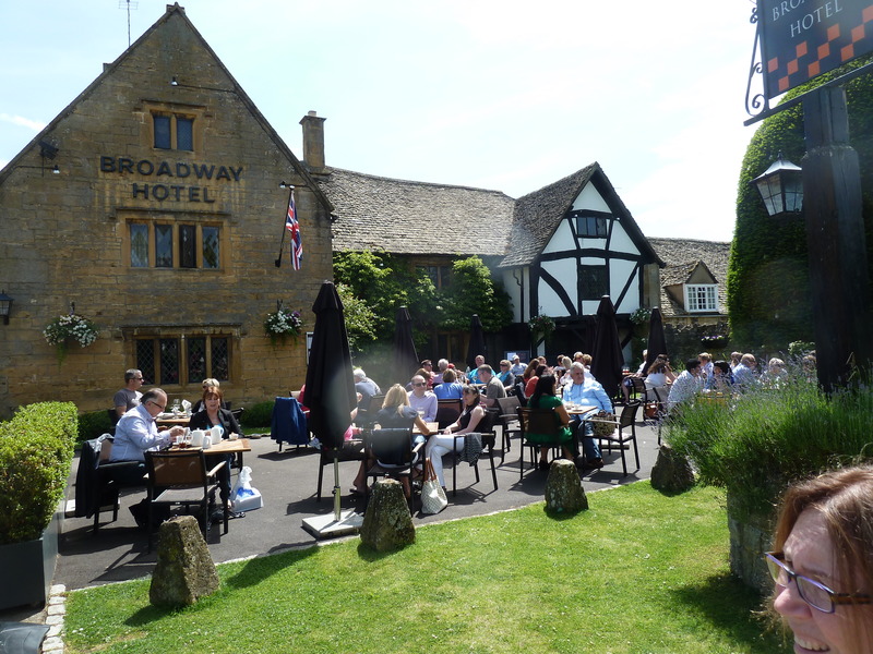 before deciding to have lunch at Hinters
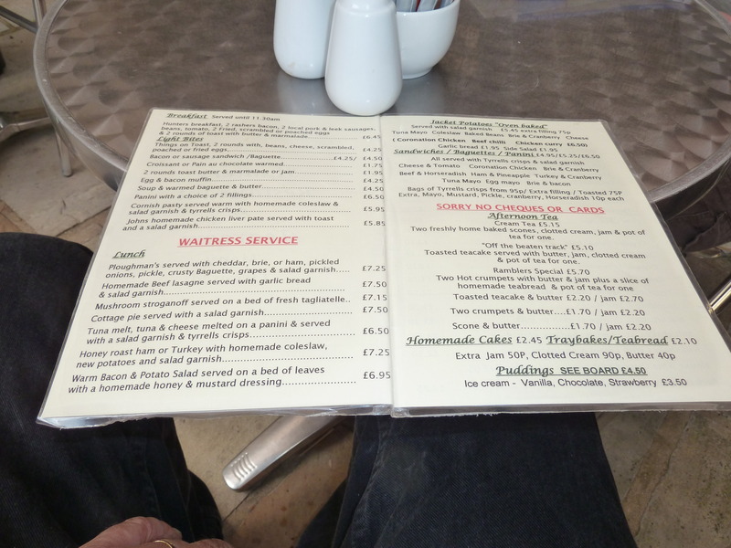
 where this was the menu
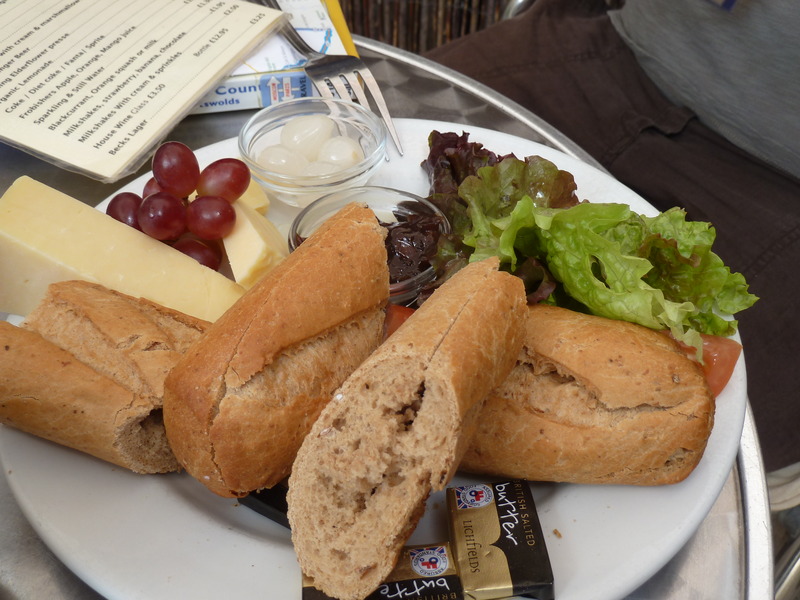
 and our ploughman's plate.
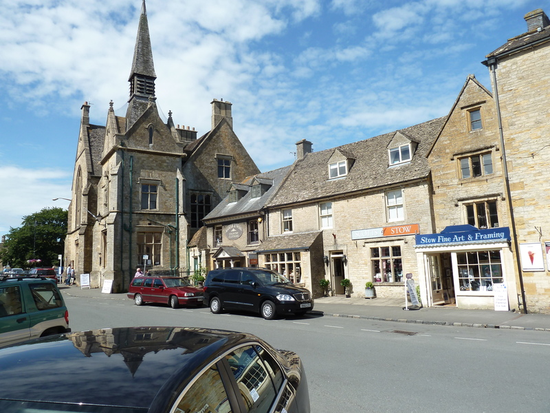
 Our next stop was Stow-on-the-Wold where we did some exploring
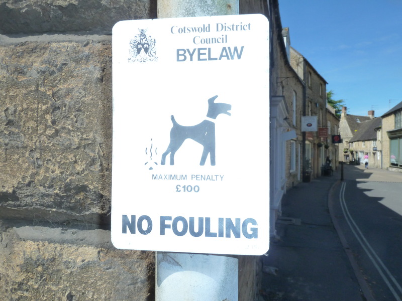
 and captured this sign for the dog collection
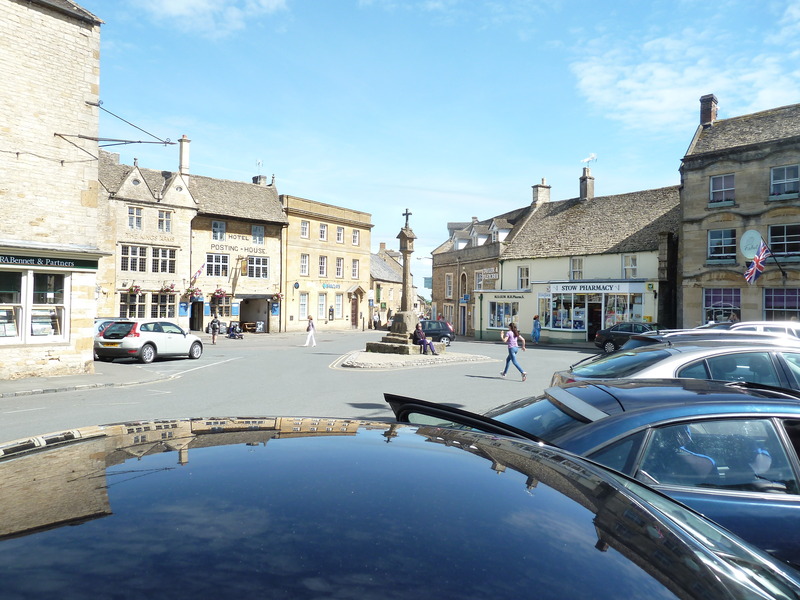
 en route to the church
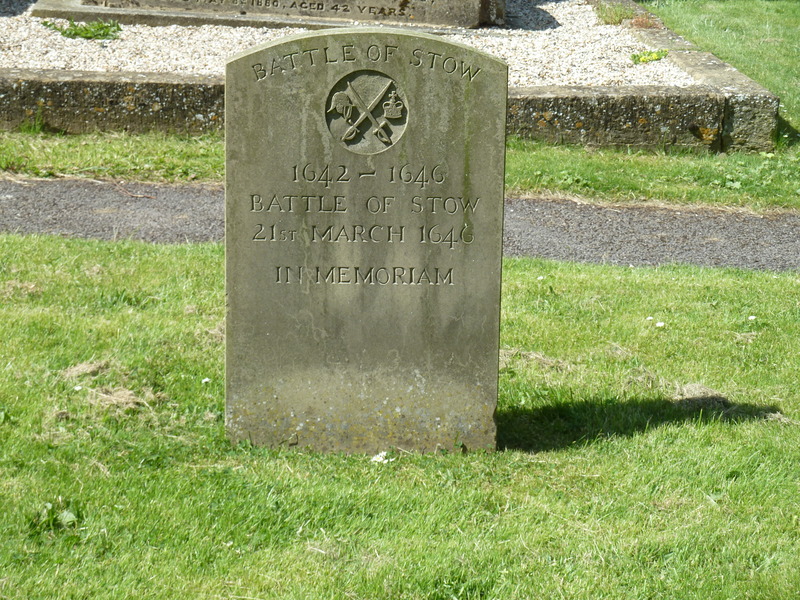
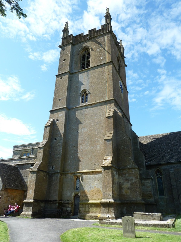 which recorded the Battle of Stow
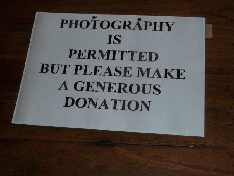
 where there was an interesting policy
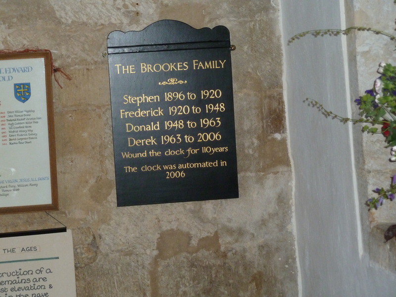
 and we learned about how the clock was wound for 110 years before it was automated
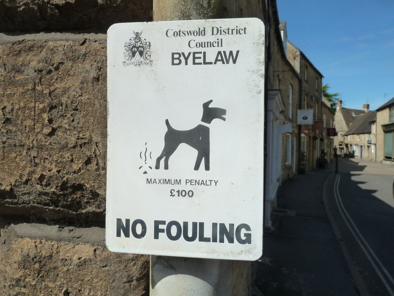
 and then recorded these signs for the dog collection
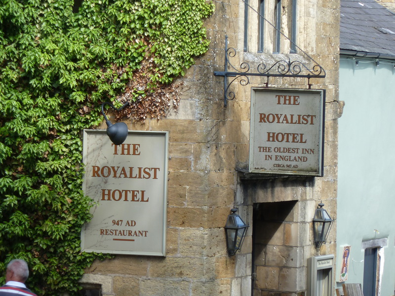
 and this sign at the oldest hotel in England (or so they claim)
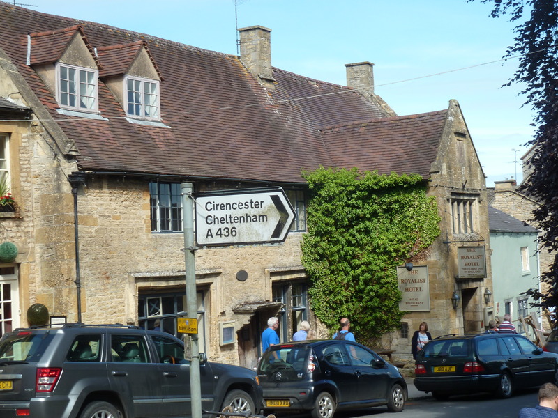
 even as we noted the road sign that would take us onward and home
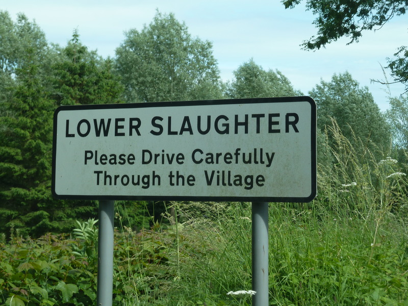
 and we then drove on towards the Slaughters but in Lower Slaughter I was given an unfortunate description by an unhappy person (and I don't know what I did wrong) and in Upper Slaughter we didn't find the center of town
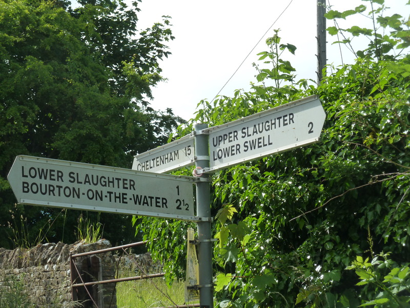 though we did get this sign in Lower Slaughter.
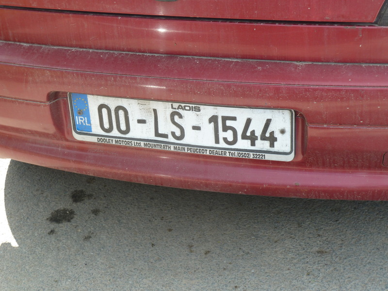
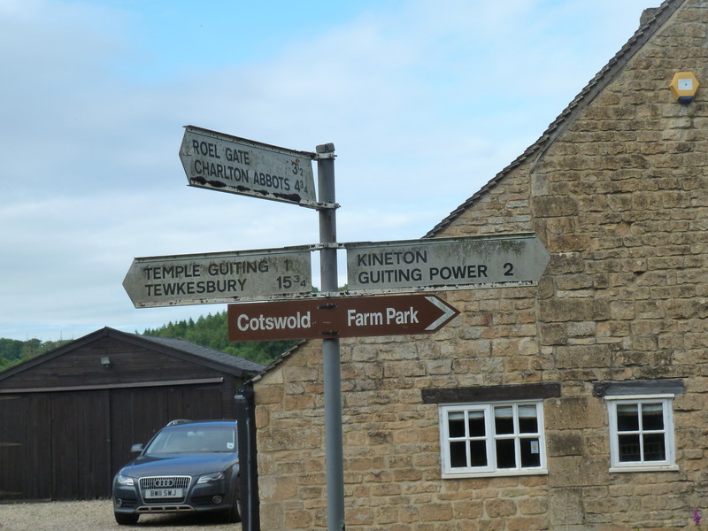
 Next we drove on to Guiting Power where we parked behind a car with this license plate
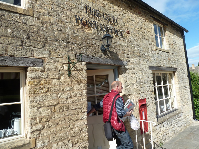
 and then went by the old post office
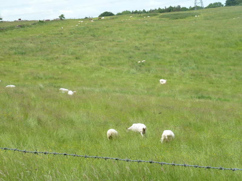
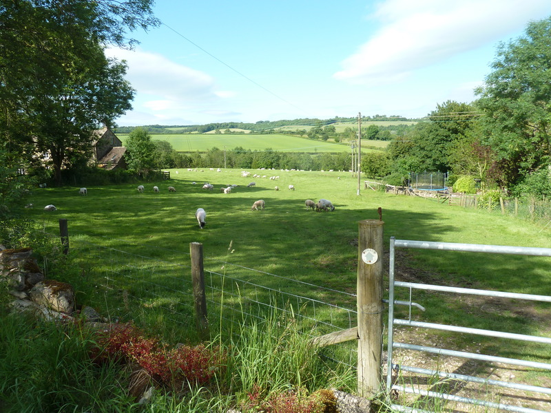
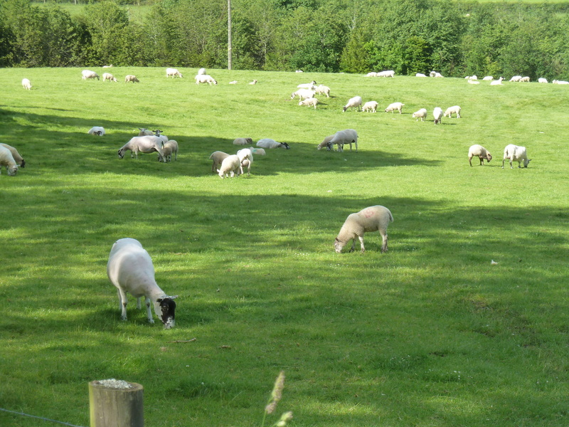
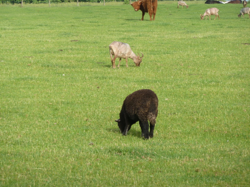
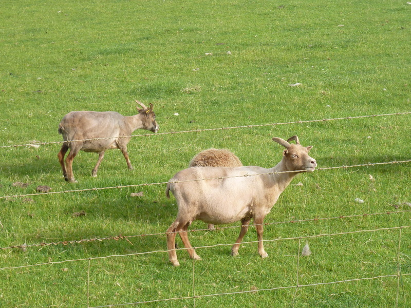
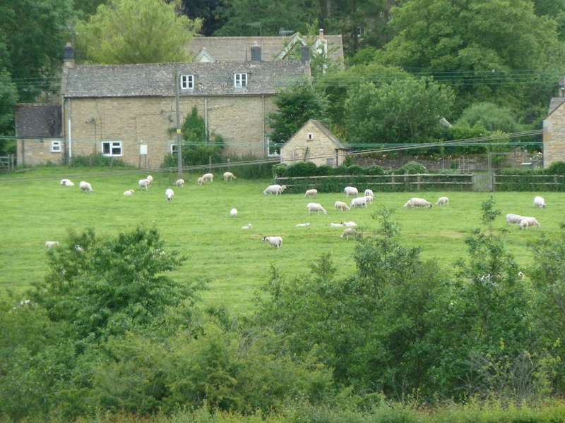
 which was near the starting point of our walk which took us past these sheep
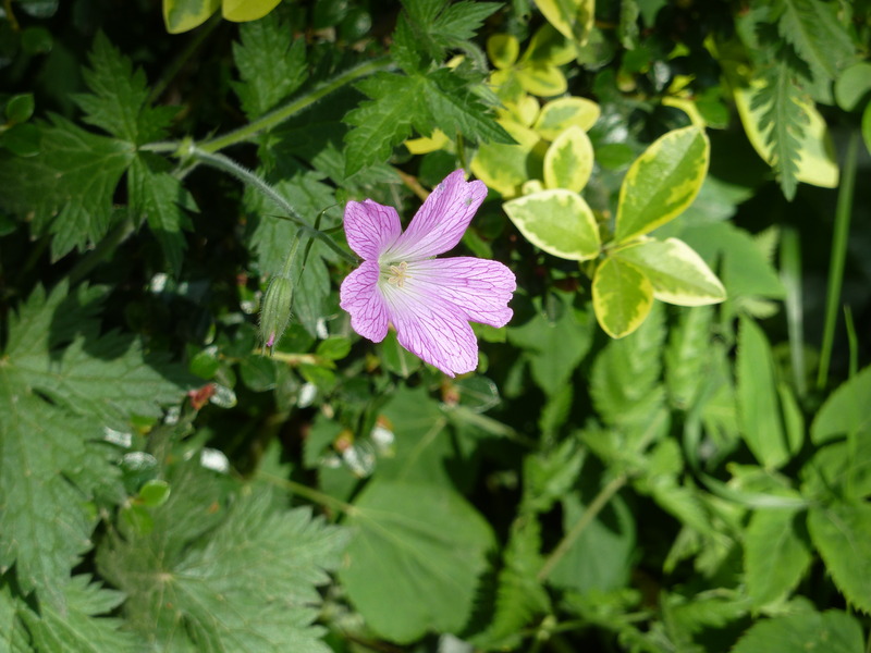
 and flowers
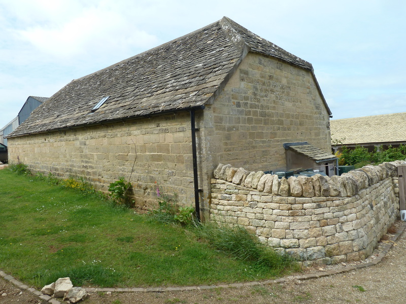
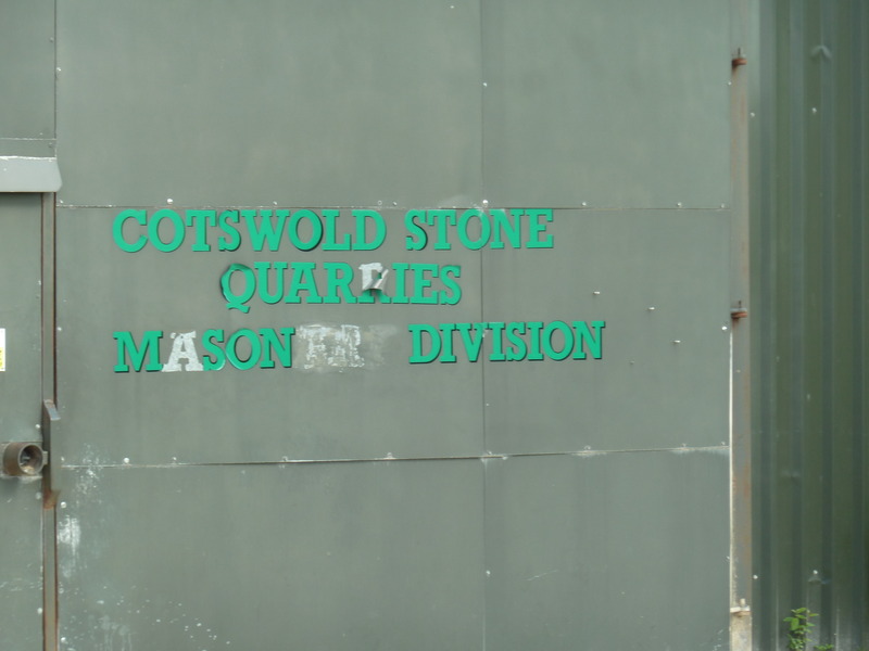
 on the way to the stone quarries from which the houses have been built for over 500 years
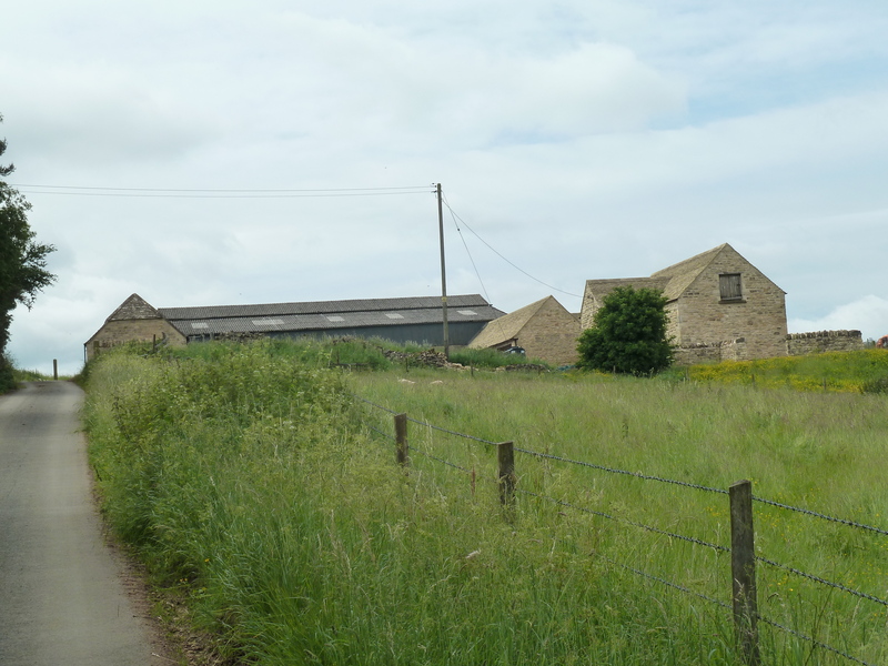
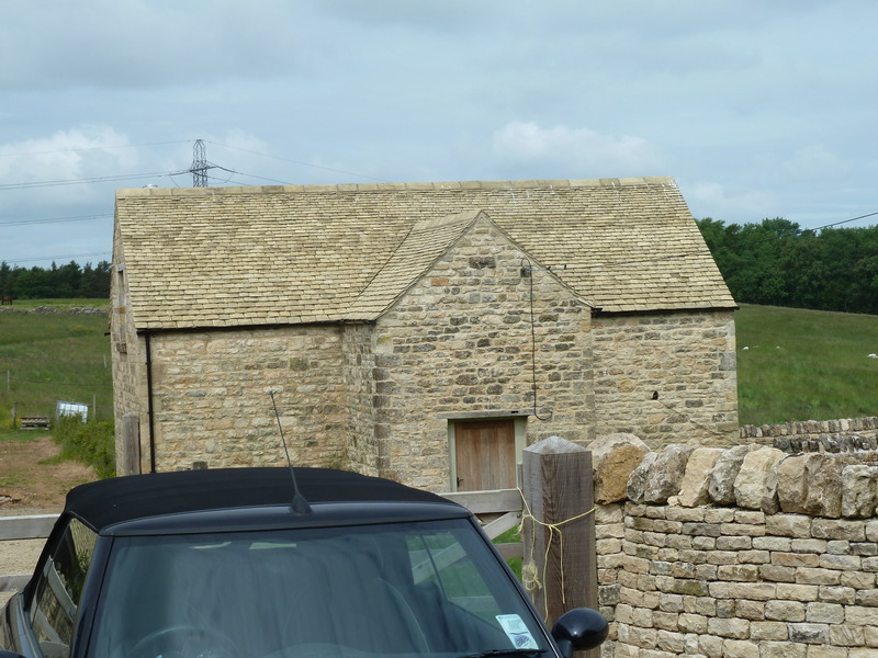
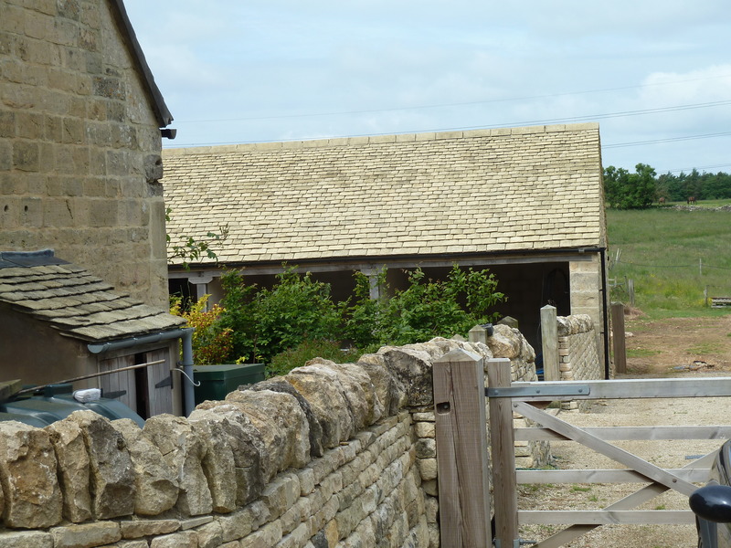
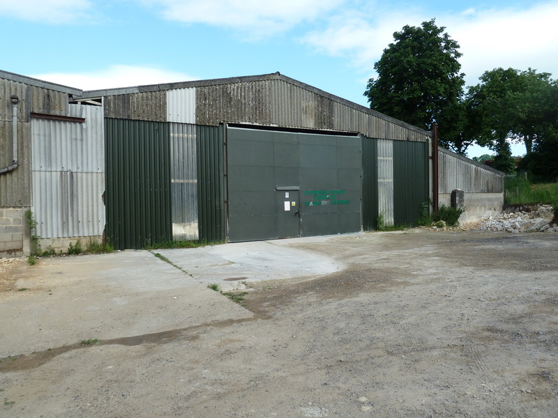
 with this barn marking a key point on our tour
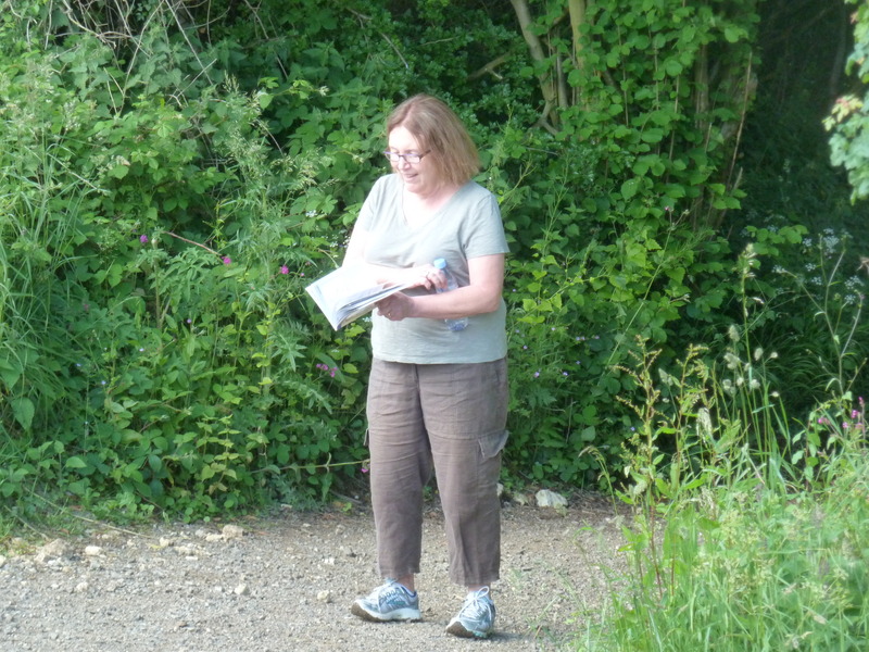
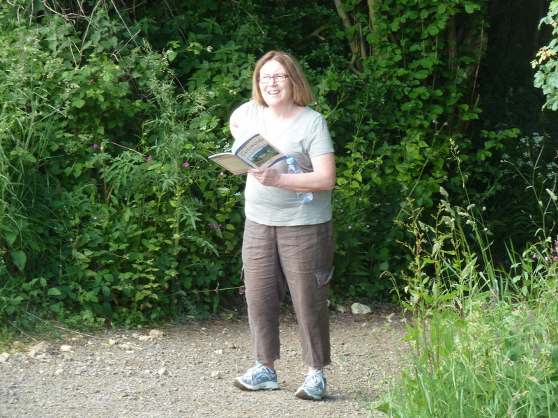
 as Suzanne read about our way
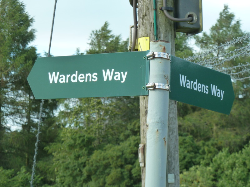
 when we came to a Wardens Way sign which suggested we were doing ok
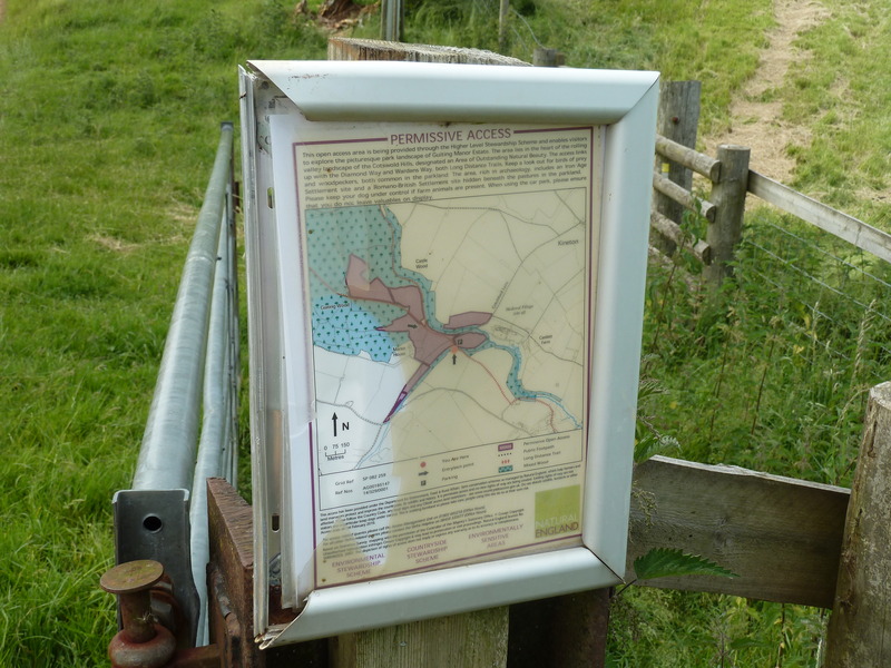
 and so we didn't pay a lot of attention to this sign
 as we made our way over an interesting type of bridge
 and walked on
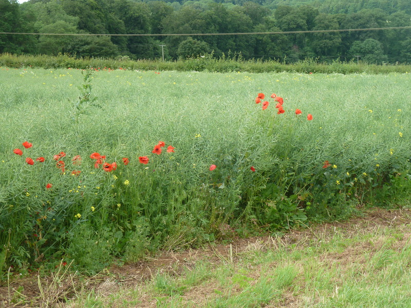
 past fields of poppies
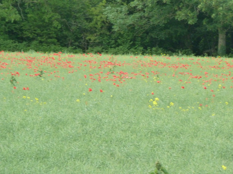
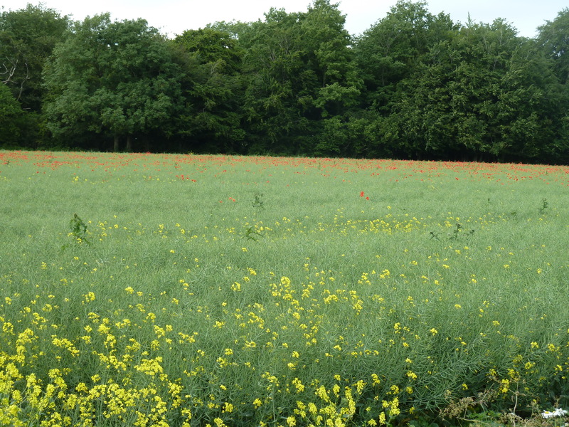
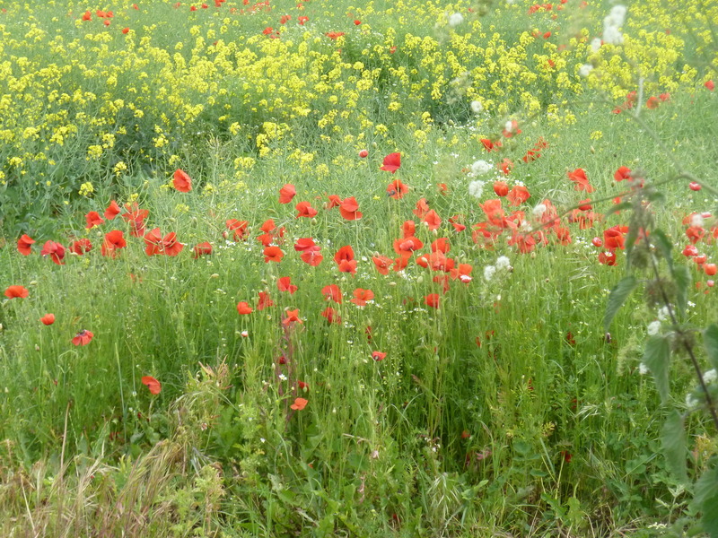
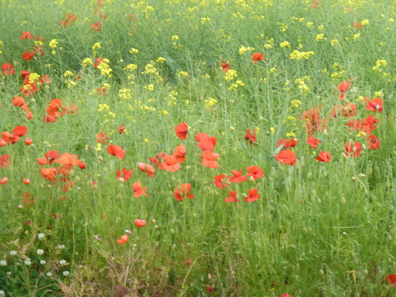 mixed with fields of yellow
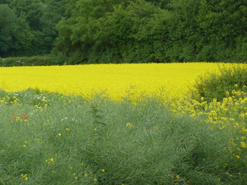 and poppies.
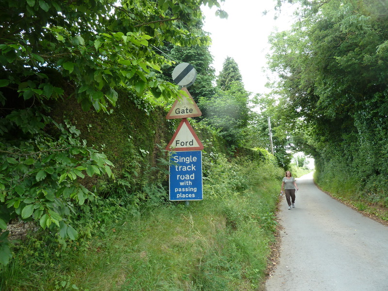
 Since it was advertised as a 2 mile walk and we felt the we had already walked 2 miles, we were concerned to see this sign but felt that there must be a short cut
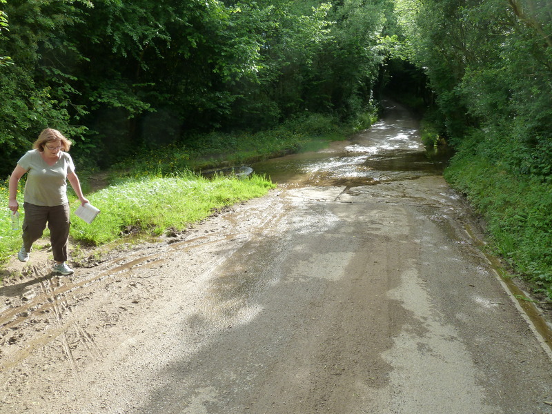
 as we headed down the trail to a ford which keeps cars away
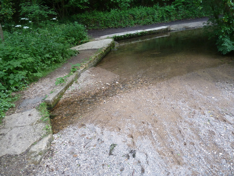
 and the ford was crossed by us by this bridge, of a type that came from prehistoric times
 and this led us, unfortunately incorrectly, to fields of livestock, who while cute became less cute
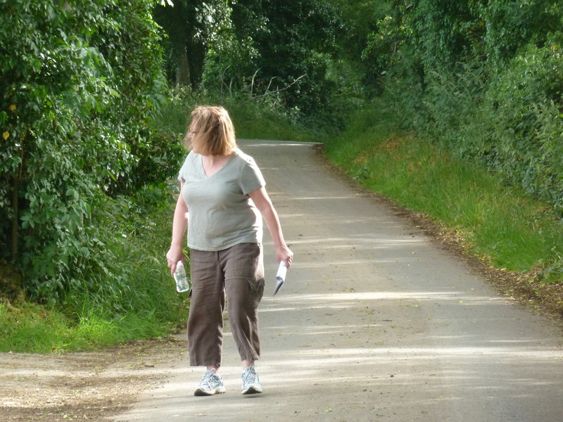
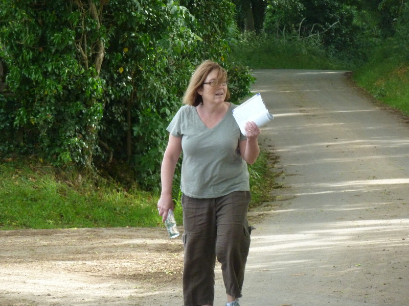
 as we continued to back and forth looking for the right road and asking people who couldn't help us until we found a delightful young girl who gave us precise directions after more than an hour tracing our steps to find the right turn. Unfortunately we did not take her photo.
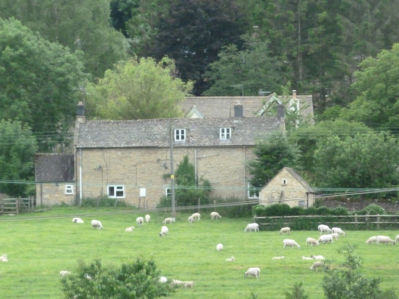
 But we did find ourselves back at Guiting Major with the sheep and the town in the distance
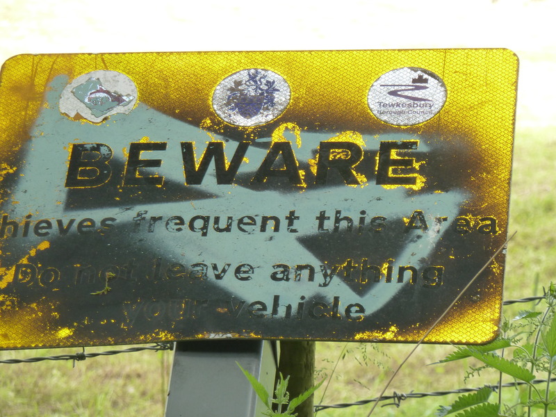
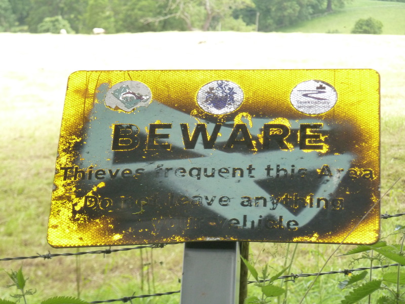
 and this warning I would take seriously
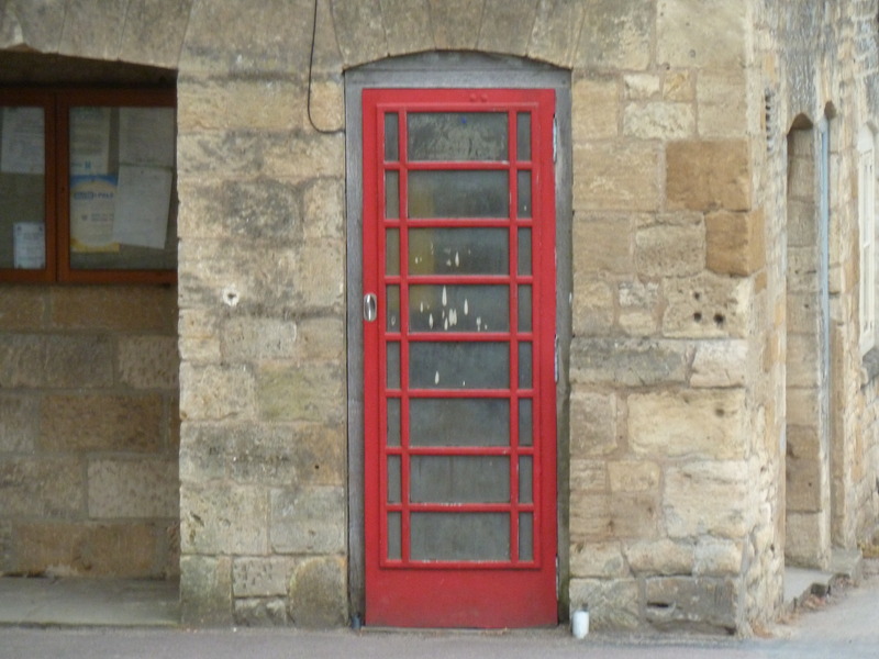
 before we passed a door that was made to look like a phone booth
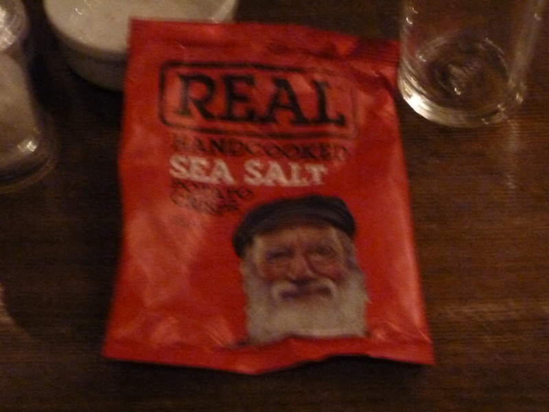
 and then made our way back to our local pub where the kitchen was closed though they could serve us these crisps.